Ingersoll Point
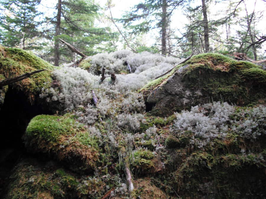
A splendid diversity of mosses and lichens carpet and encrust the forest floor across the 145-acre Ingersoll Point Preserve.
A 3.5 mile trail network provides an opportunity to explore an alluring forest bordering 1.6 miles of wild shoreline along Carrying Place Cove and Wahoa Bay. Around 190 plant species have been identified at Ingersoll Point which provides an inspiring setting for nature observation and study. The property has long provided access to the nearby clam flats as well as a variety of daytime recreational activities including hiking, hunting, fishing, and snowshoeing. This preserve was acquired with the support of the Land for Maine’s Future program and the North American Wetlands Conservation Act in 2009.
Directions: From U.S. Route 1, turn South onto ME-187/Indian River Road at Wild Blueberry Land. In 2 miles, turn right on Wescogus Road. Continue about 1.5 miles and turn left on East Side Road. Follow East Side Road about 6 miles and turn right onto Mooseneck Road. Continue on Mooseneck Road to the Union Church, which will be on the left in about 1 mile.
Trailhead and parking is in the back of the Union Church parking lot. Look for the Ingersoll Point Preserve sign.

At the Edge of Ingersoll Point (Susan Jordan Bennett)
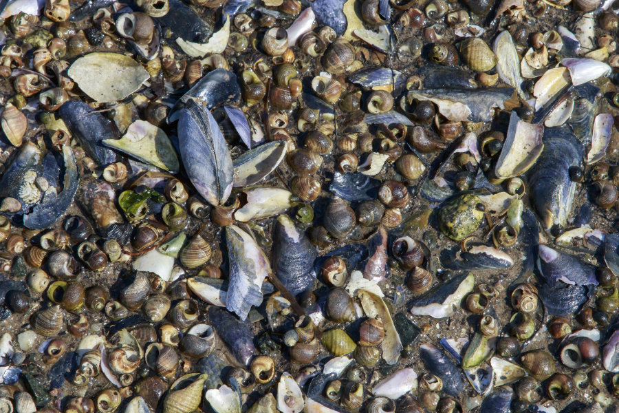
Shells at Ingersoll Point (Paul Powers)
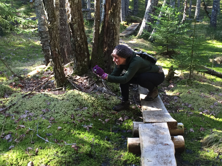
Photographing Lichen on the Adler Woods Trail
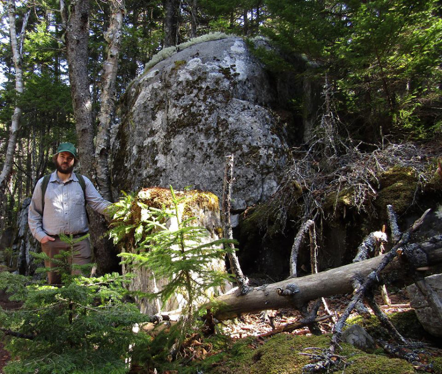
Sunshine and Lichens (Carol Muth)
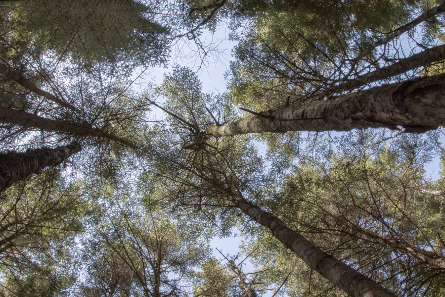
Tree Canopy (Paul Powers)
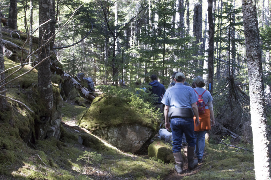
Group Hike (Paul Powers)
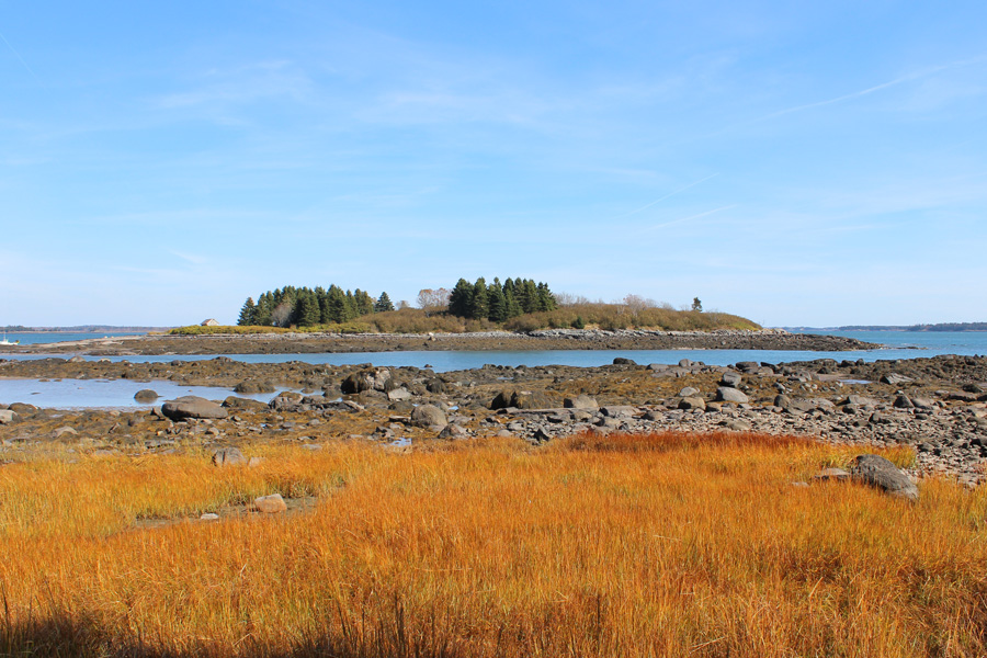
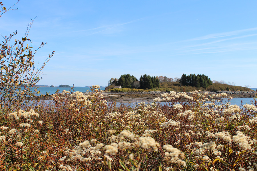
Viewing the Island across from Ingersoll Point (Susan Jordan Bennett)

Leading a Group of Explorers (Paul Powers)

Tidal Life at Ingersoll Point by (Paul Powers)
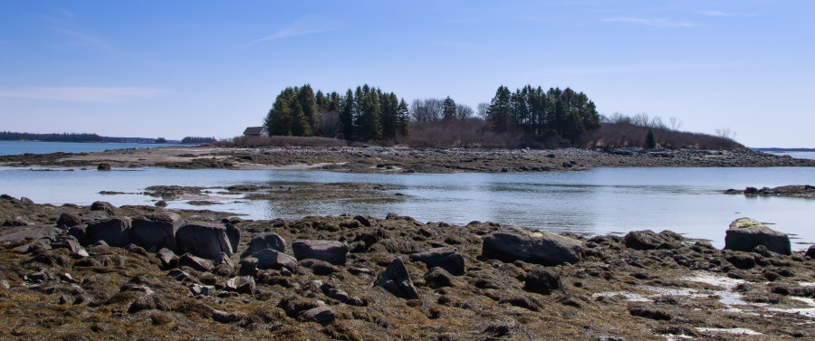
Island Across from Ingersoll Point (Paul Powers)
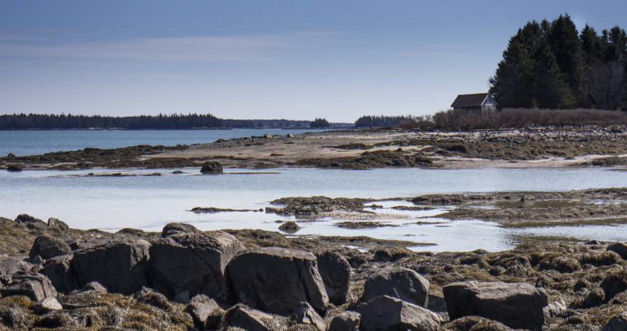
Low Tide at Ingersoll Point (Paul Powers)
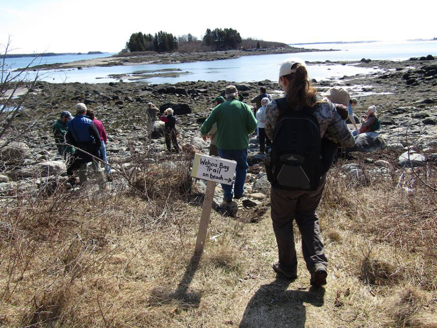
Hiking the Wohoa Bay Trail (Carol Muth)