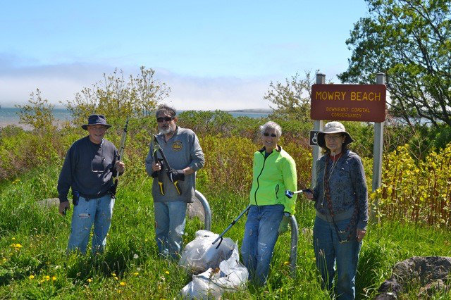
Mowry Beach Preserve
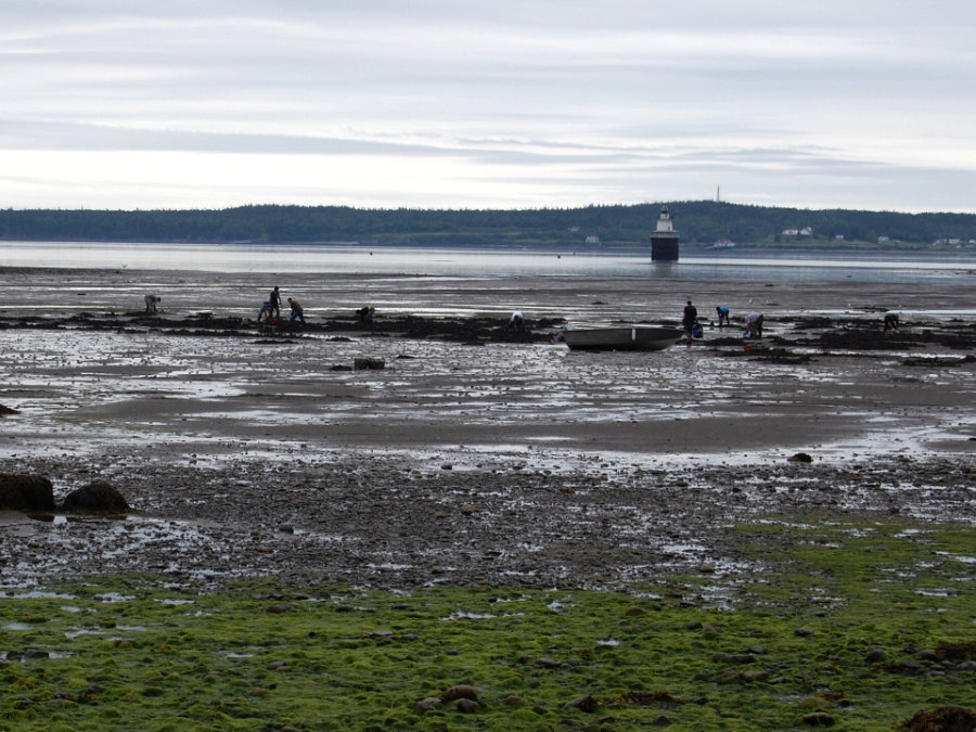
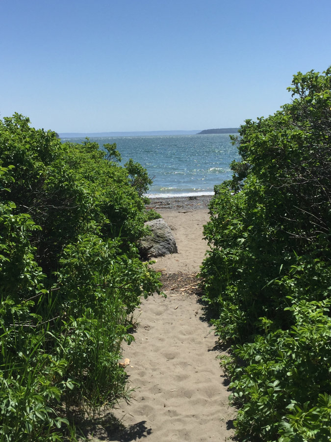
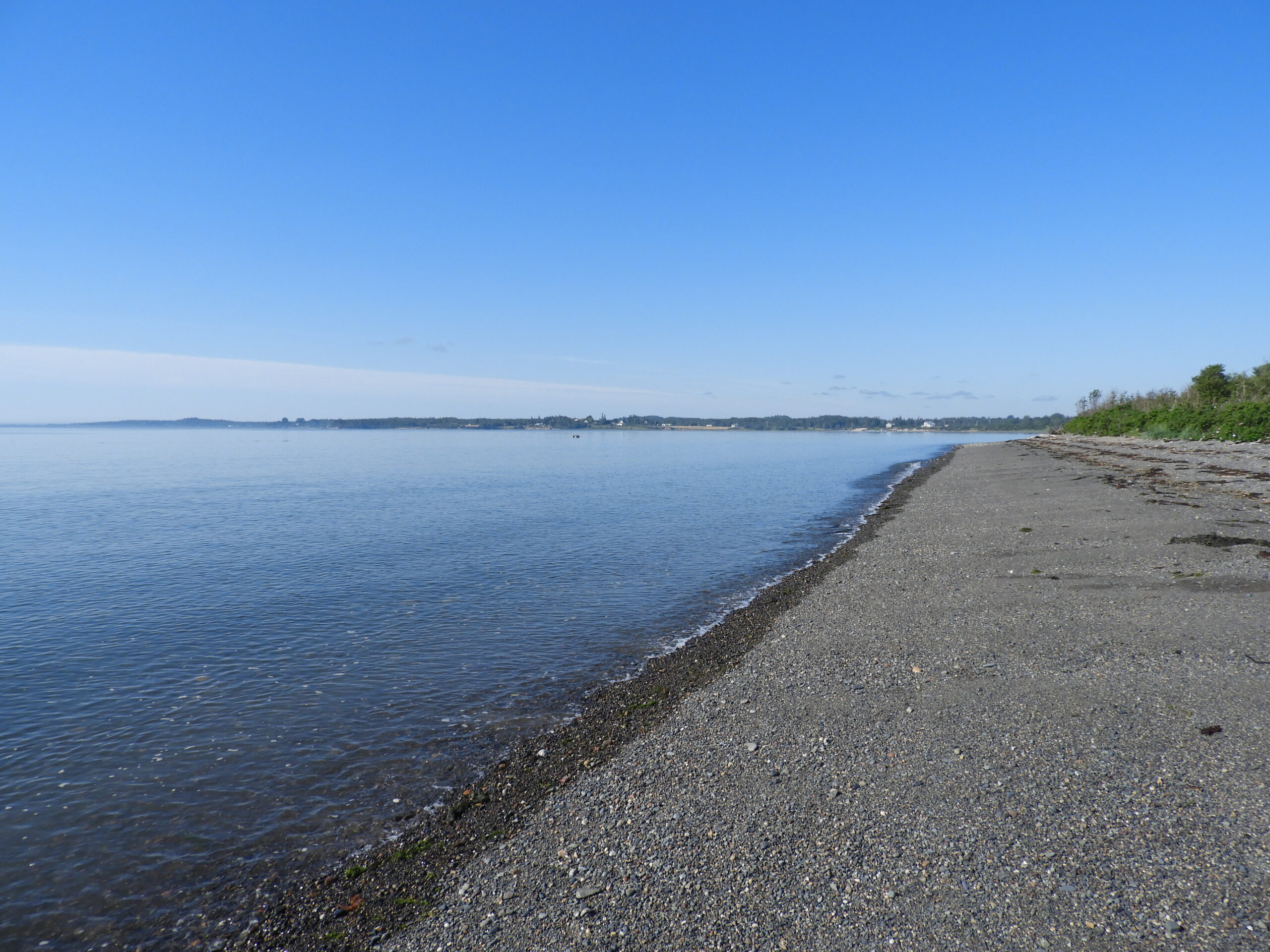
The 48-acre Mowry Beach Preserve provides convenient public access to one of the easternmost sandy beaches in the country.
Trail Activities:
 - Copy")
Difficulty & Length:
Easy, 0.8 mile of trail network
Description:
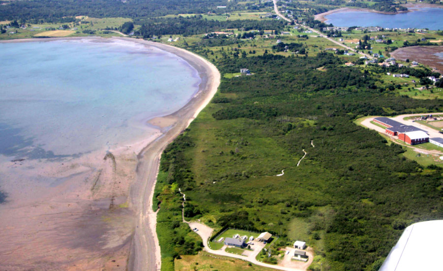
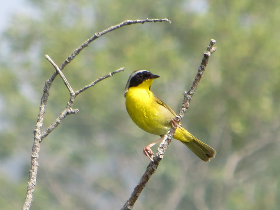
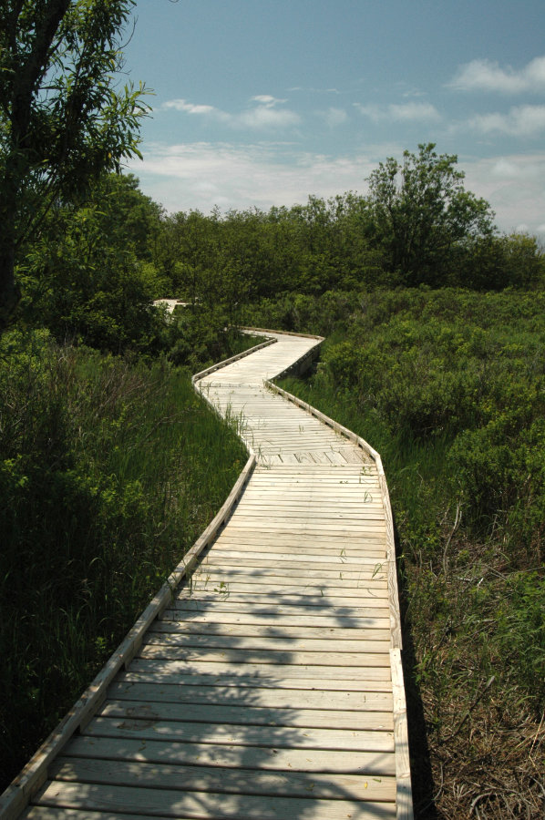
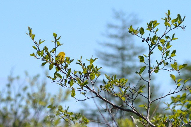
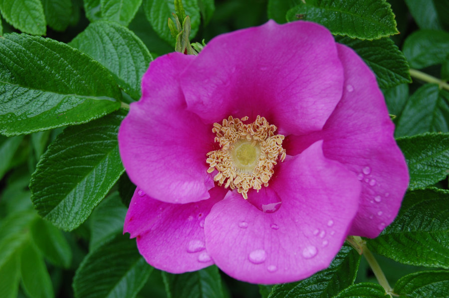
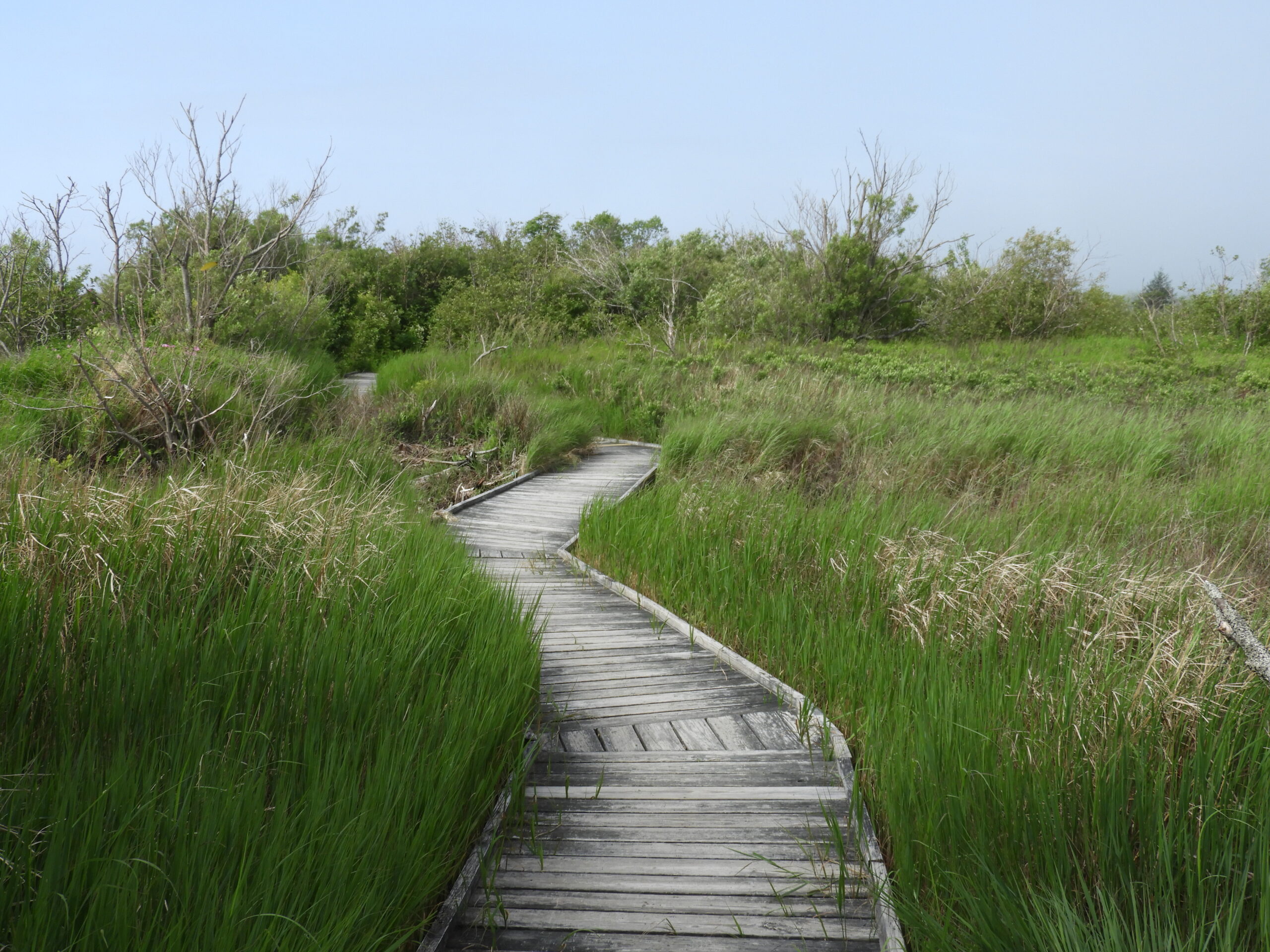
Mowry Beach is designated as an important birding area, the beach supports nesting, migrating and wintering birds. From the sign and kiosk at the parking area at the end of Pleasant Street, a short stretch of gravel path leads to a 1,700-foot long boardwalk. The raised trail passes through typical coastal scrub-shrub woodland and skirts sphagnum bog and cattail swamp. The final section of the trail is graveled and emerges at the south end of the Lubec Consolidated School near South Street. Return the way you came or, for a longer walk, return by road. The trail can also be accessed from the parking area at the south end of the Lubec Consolidated School for a walk to the beach and back. The raised trail is smooth and almost level and is designed for wheelchair access.
Trailhead Directions:
Take Route 1 to Route 189 to Lubec. Bear right on Washington Street and then take the third right onto Pleasant Street. Follow Pleasant Street to the parking area for the trail and beach. The property can also be reached by turning right off Route 189 at South Street immediately after the cemetery. South Street leads to the Lubec Consolidated School. Park at the south end of the school building; find the trailhead at the edge of the lawn at the sign.
Trail Map: