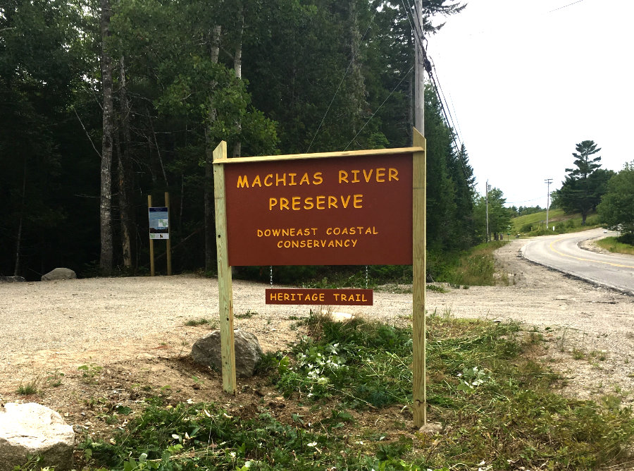
Machias River Preserve
Steeped in local history and ecological diversity, the 917-acre Machias River Preserve is the largest property that DCC has protected to date.
Trail Activities:

Total Acres: 917
Trail Network Length: 7.3 miles
Description:
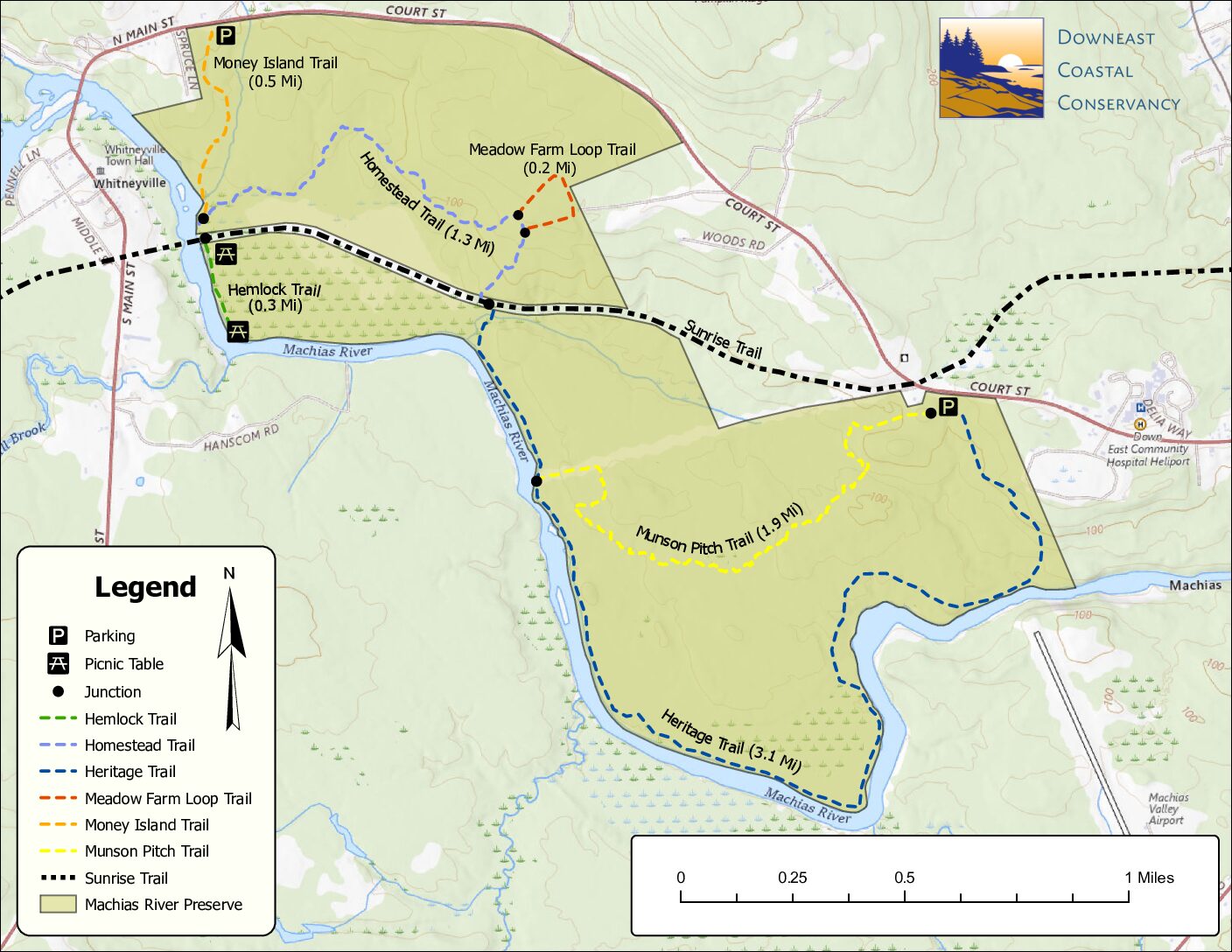
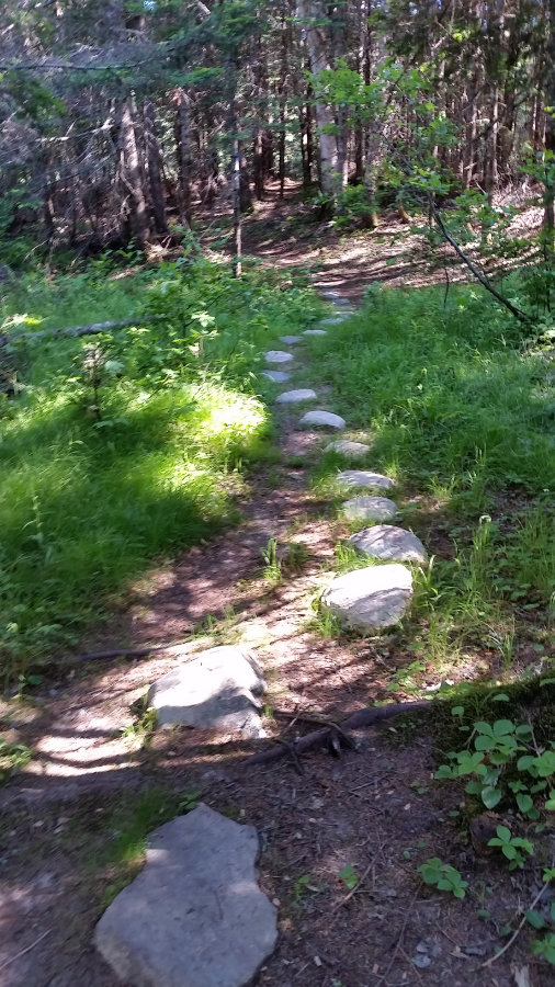
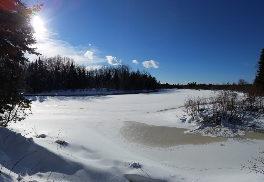
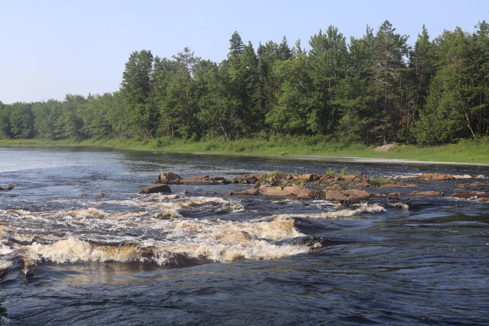
This preserve offers one of the longest networks in the area. Visitors can explore over seven miles of hiking trails that link with segments of the multi-use Downeast Sunrise Trail. The Heritage Trail offers an extended walk along the Machias River, with new views unfolding throughout the hike. The Munson Pitch Trail makes for a convenient loop option back to the parking area.
The Homestead Trail winds through native forest communities, as well as planted Norway Spruce and Red Pine stands. Money Island Trail follows a babbling brook that eventually joins the Machias River. Money Island can be seen in the middle of the river.
Pay attention to seasonal closure signs during spring and high water events. Although riverside hiking isn’t an option during these times, the network of trails allows for other hiking opportunities.
Trailhead Directions:
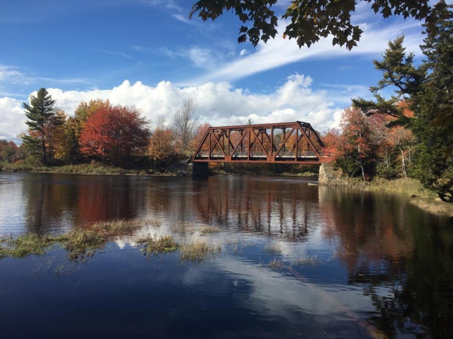
Vehicle parking is available at two locations. The first is on Route 1A in Machias, 0.5 mile southwest of the Downeast Community Hospital. The second is on Route 1A in Whitneyville, about 0.3 mile north of the bridge over the Machias River. Along the Sunrise Trail, ATVs and snowmobiles will find small parking areas where the Homestead Trail and Hemlock Trail intersect with the Sunrise Trail, as well as a large parking area across the trestle bridge in Whitneyville.
Trail Map: