Reversing Falls Preserve
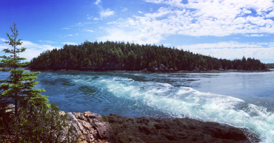
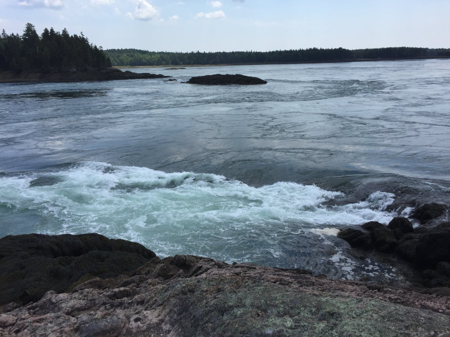
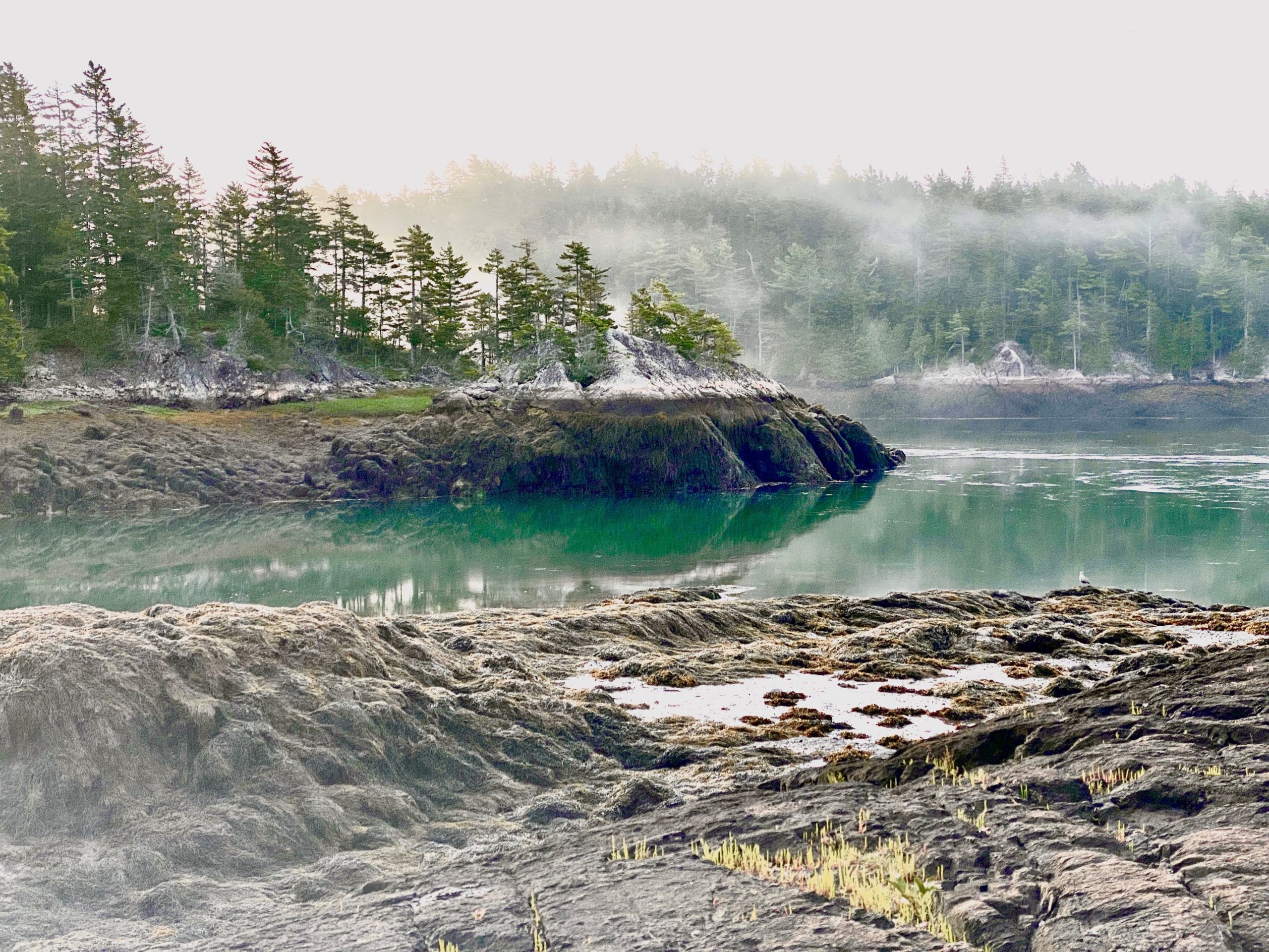
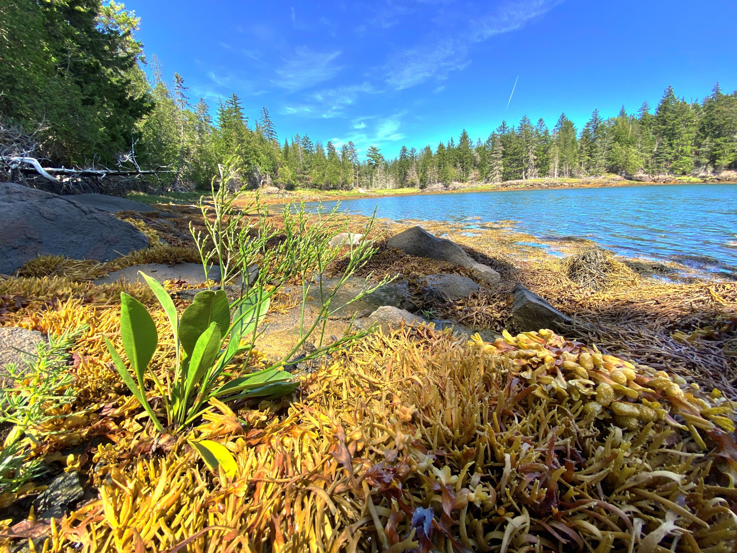
Situated between Dennys Bay and Cobscook Bay, the 191-acre Reversing Falls Preserve provides spectacular views of the largest set of tidal falls on the Maine coast.
Trail Activities:
 - Copy")
Difficulty & Length:
Easy, 0.6 mile of trail network
Description:
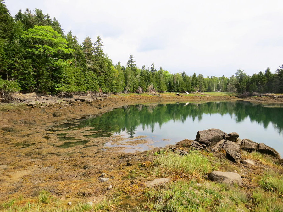
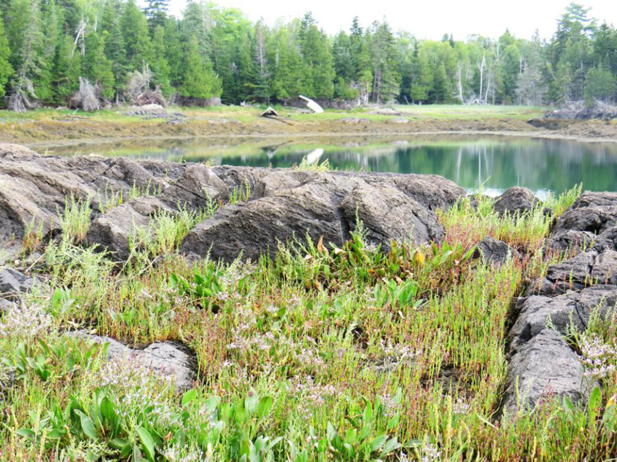
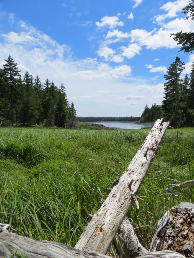
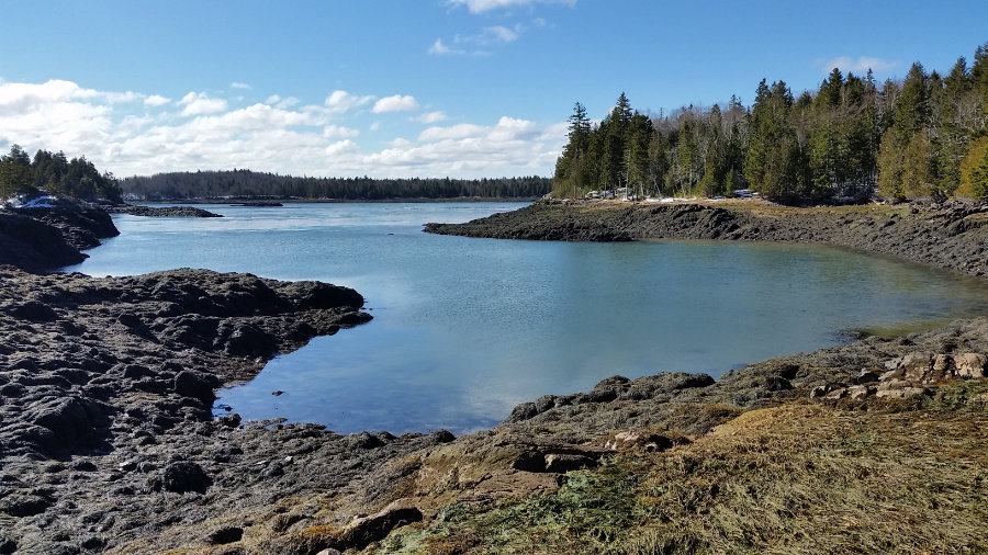
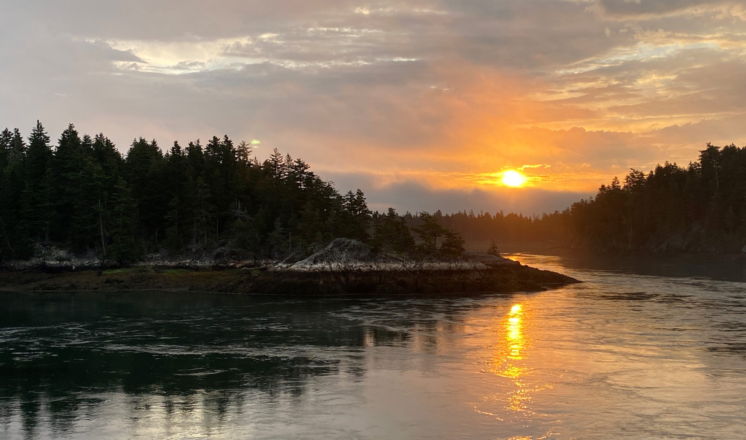
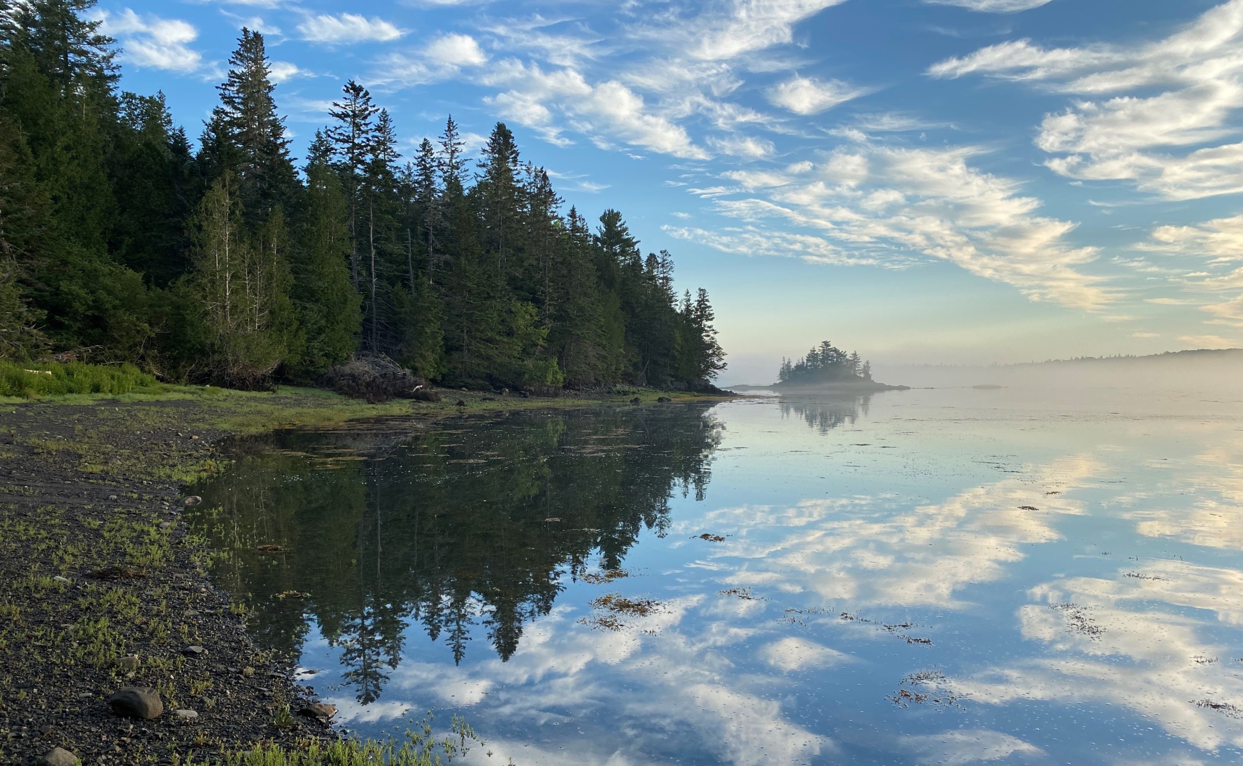
The Town of Pembroke owns and maintains 32 acres including the parking area and fields at Mahar Point. DCC’s hiking path starts from the eastern parking lot and continues along the wooded shore to a rocky viewpoint. Hikers can return to the parking lot via the same path or on an old woods road. Traditionally called Cobscook Falls, the reversing falls are an unusual phenomenon of boiling tidewaters on the Maine coast. The channel between the Preserve and Falls Island provides a different experience at each stage of the tidal cycle. As the tide dramatically rises or falls (up to 24 feet every 6.4 hours), the channel transforms from peaceful, still water to a raging torrent and back again. Visitors are likely to see ospreys and eagles fishing and seals playing in the rushing waters.
Trailhead Directions:
Take Route 1 to West Pembroke. Turn east onto the extension of Route 214 next to the Irving gas station. From the Route
214 extension, turn right at the stop sign and then an immediate left up a small hill onto the Leighton Point Road (also called Leighton Neck Road). Continue 3.3 miles; then turn right onto Clarkside Road for 1.2 miles. At the end of Clarkside Road, turn left onto Youngs Cove road. Go 1.5 miles to the Town of Pembroke land and parking areas.
Trail Map: