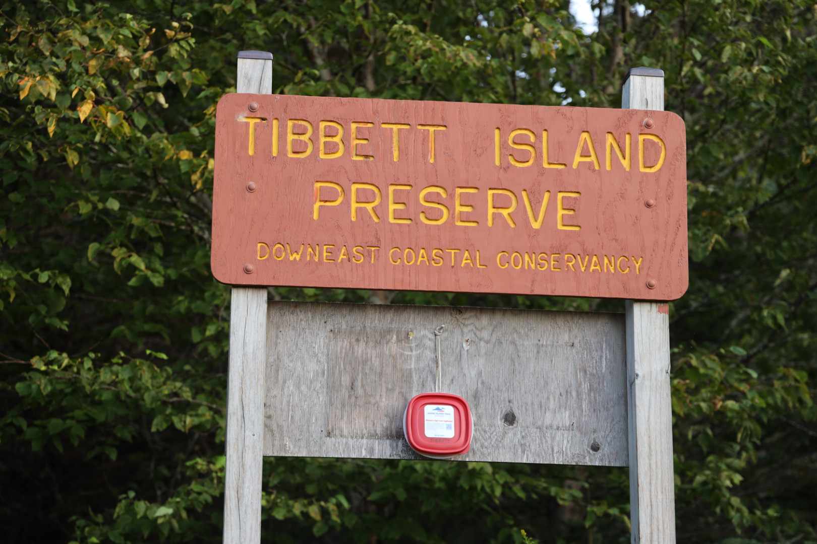
Tibbett Island Preserve
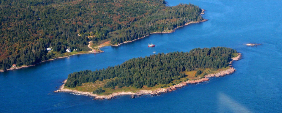
While only 600 feet from the mainland shore of Moose Neck in Addison, Tibbett Island offers convenient access to a truly wild and undeveloped Maine island.
Trail Activities:
")
Difficulty & Length:
Moderate, 1.0 mile of trail network
Description:
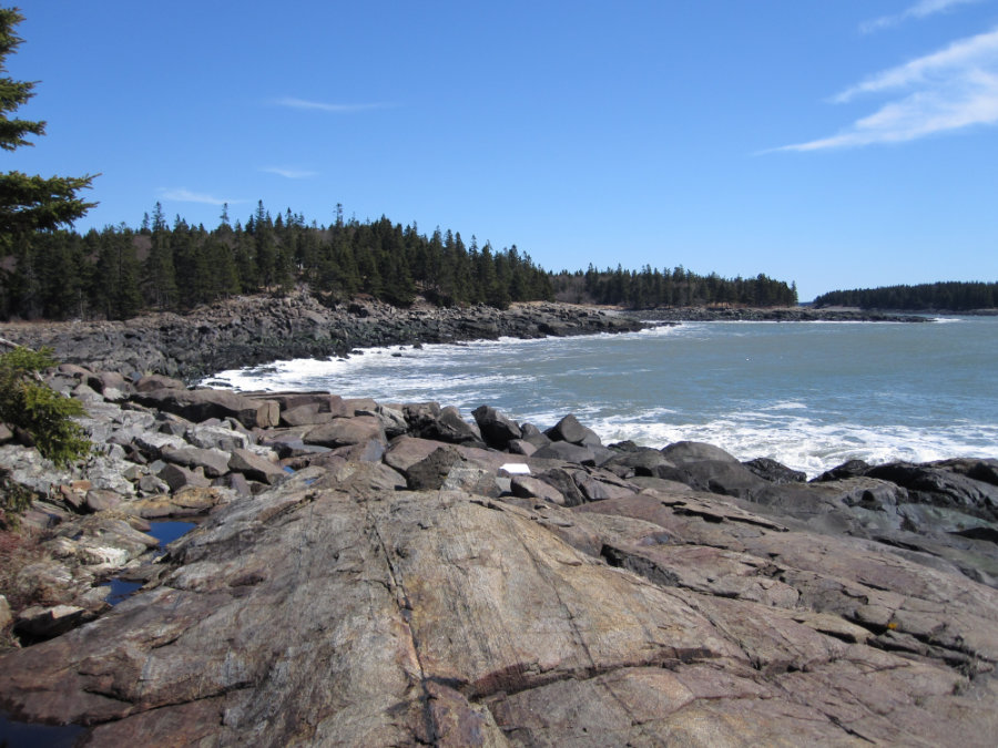
Tibbett is a 23-acre island about 600 feet offshore from Mooseneck at the southern tip of Addison. The island has nearly a mile of beach and rocky coastline to explore. A public beach owned by the Town of Addison provides easy access to the island. The distance across the narrow channel is short; kayaks, skiffs, and canoes can make a quick passage and can launch and land at nearly any level of tide. Camping is allowed on Tibbett Island in the established campsite. Fires at Tibbett Island are permitted, but only below the high-water mark and all fires must be extinguished and dispersed.
Trailhead Directions:
From points east on Route 1, turn south onto Route 187/Indian River Road at Wild Blueberry Land. In 2 miles, turn right on Wescogus. Road. Continue 1.5 miles and turn left on East Side Road. Follow East Side Road about 6 miles and turn right onto Mooseneck Road. Continue on Mooseneck Road for 2.3 miles and turn left onto Narrows Road and park at the end of the road. From points west, take Route 1 to Columbia and turn right onto Addison Road. Continue onto Water Street through the town over the Addison Bridge. Follow the East Side Road for 6 miles and turn right onto Mooseneck Road. Continue on Mooseneck Road for 2.3 miles and turn left onto Narrows Road and park at the end of the road.
Trail Map: