Orange River Conservation Area
The Orange River remains one of the least developed coastal river systems remaining on the east coast.
Trail Activities:
")
Difficulty & Length:
Moderate, 5.9 miles of trail network
Description:
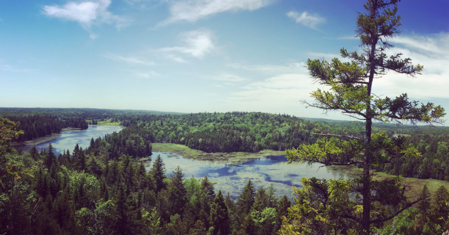
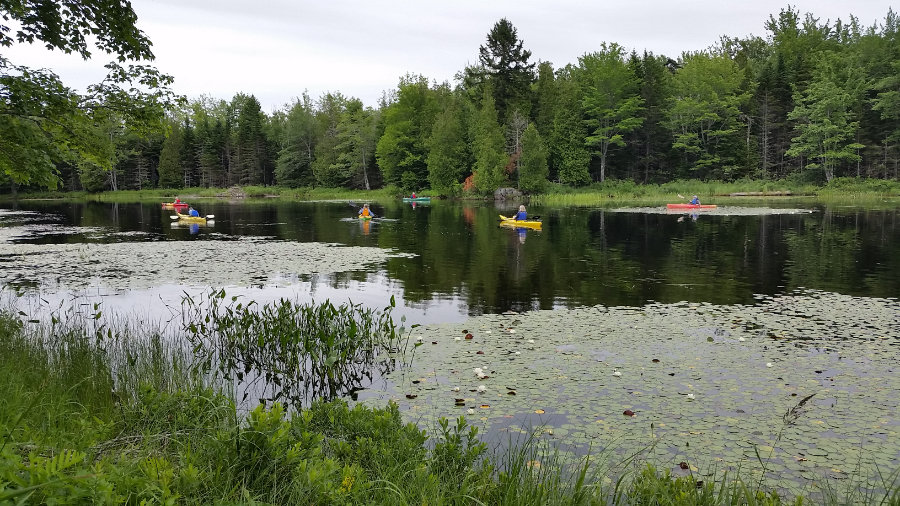
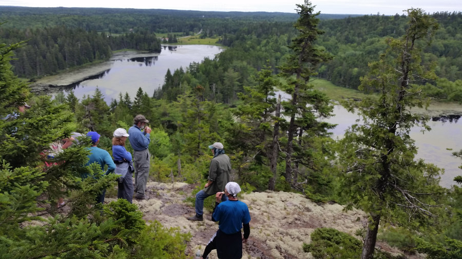
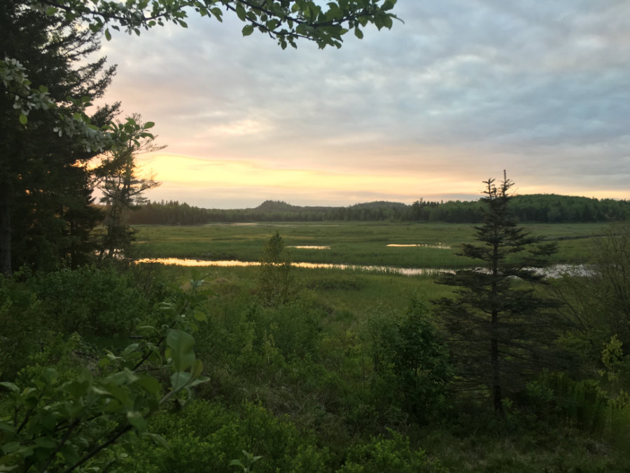
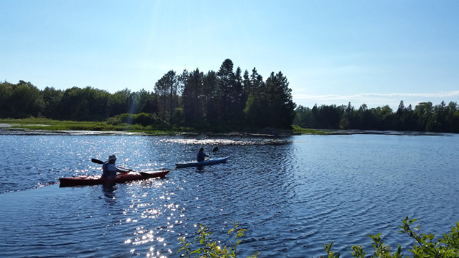
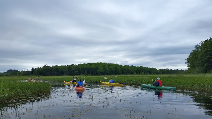
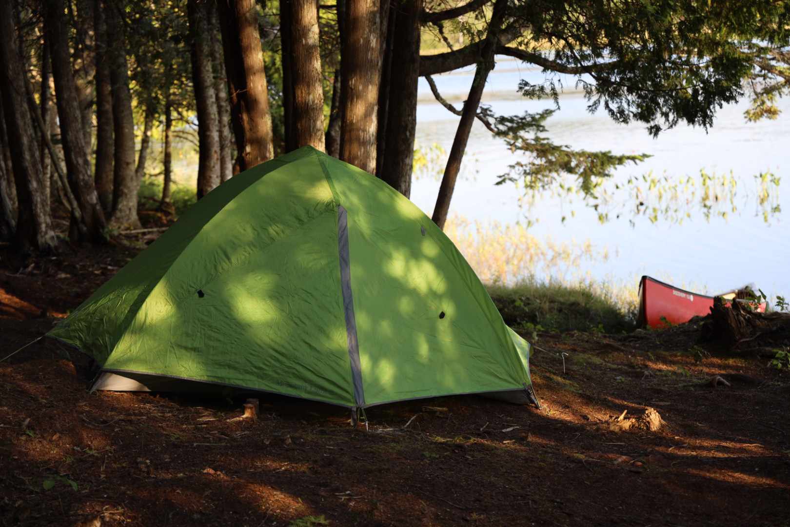
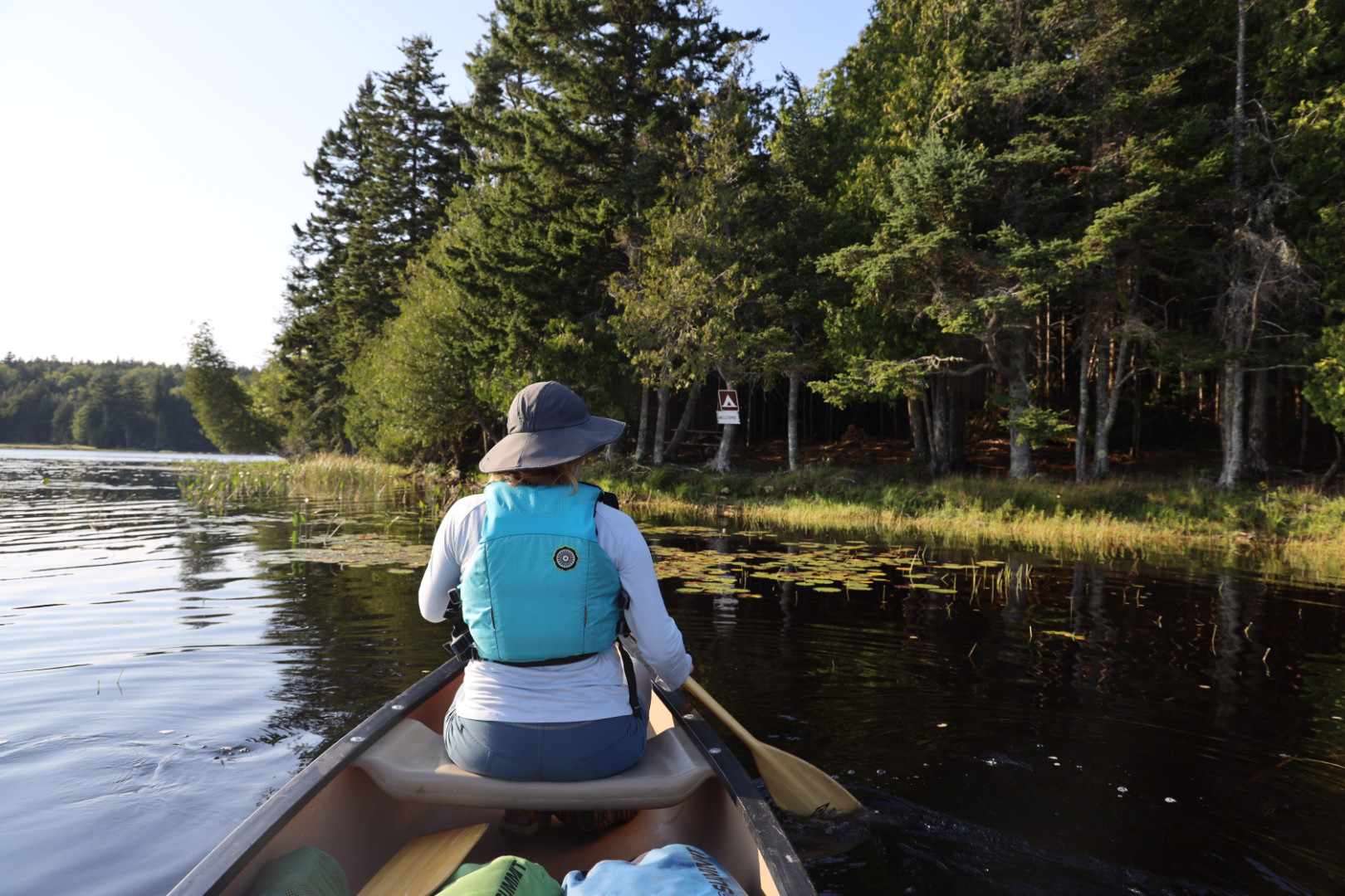
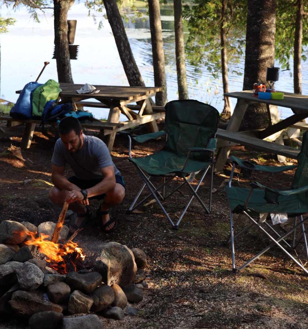
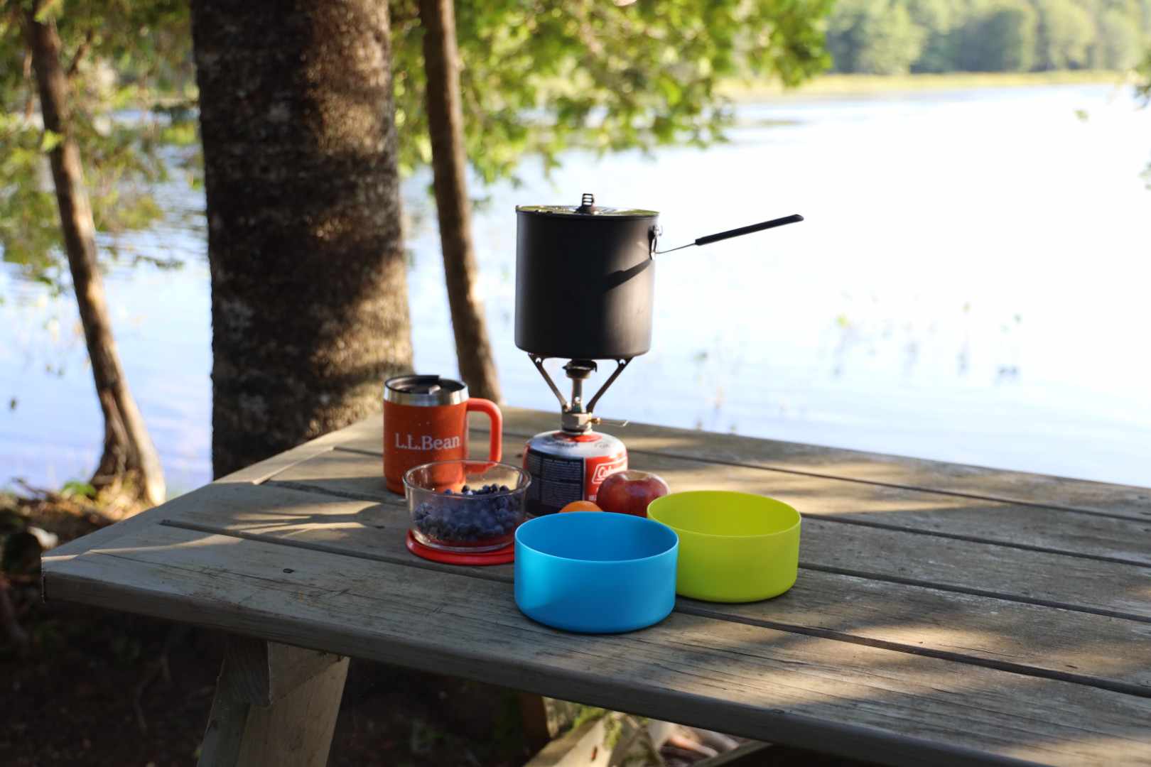
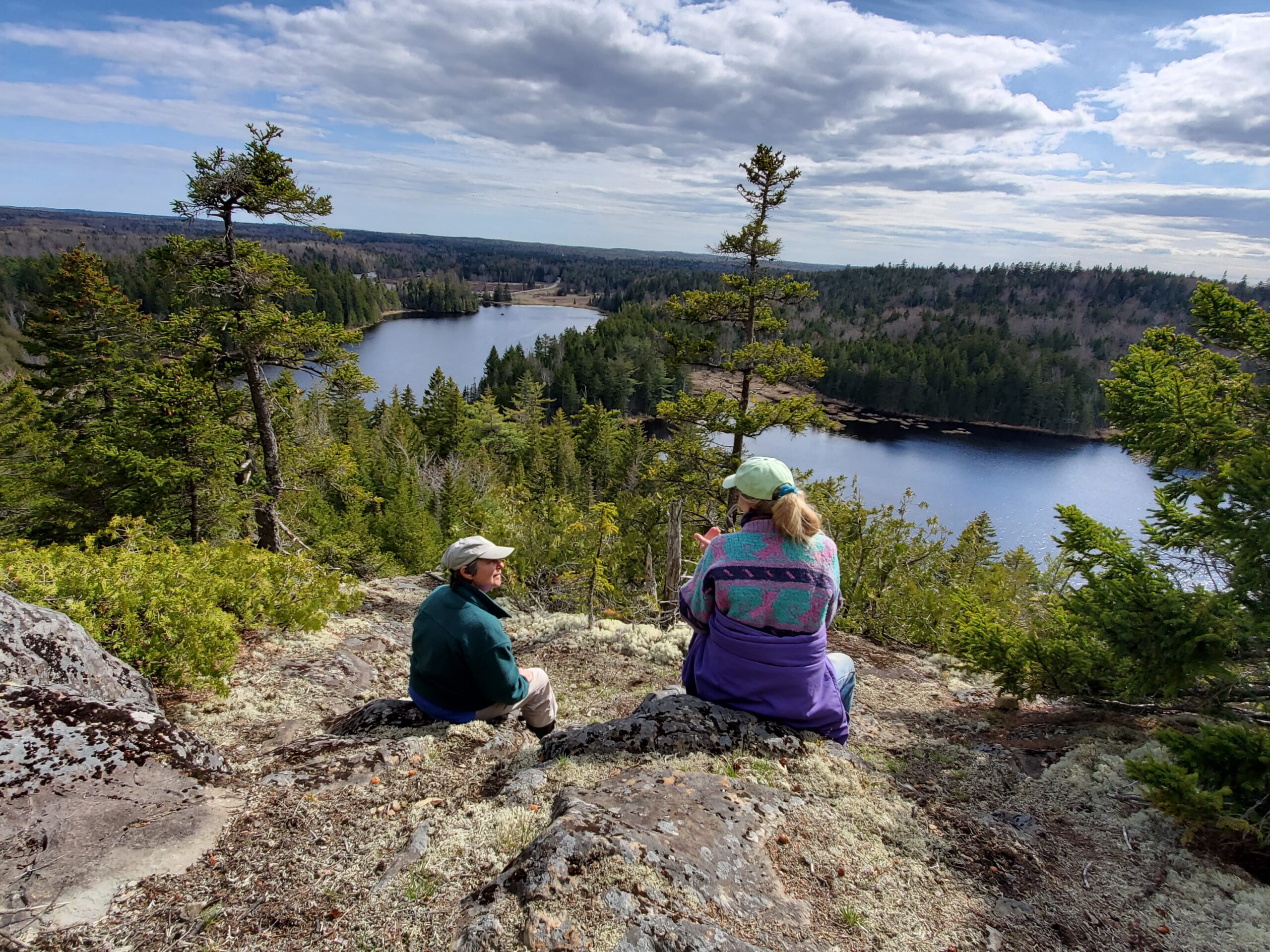
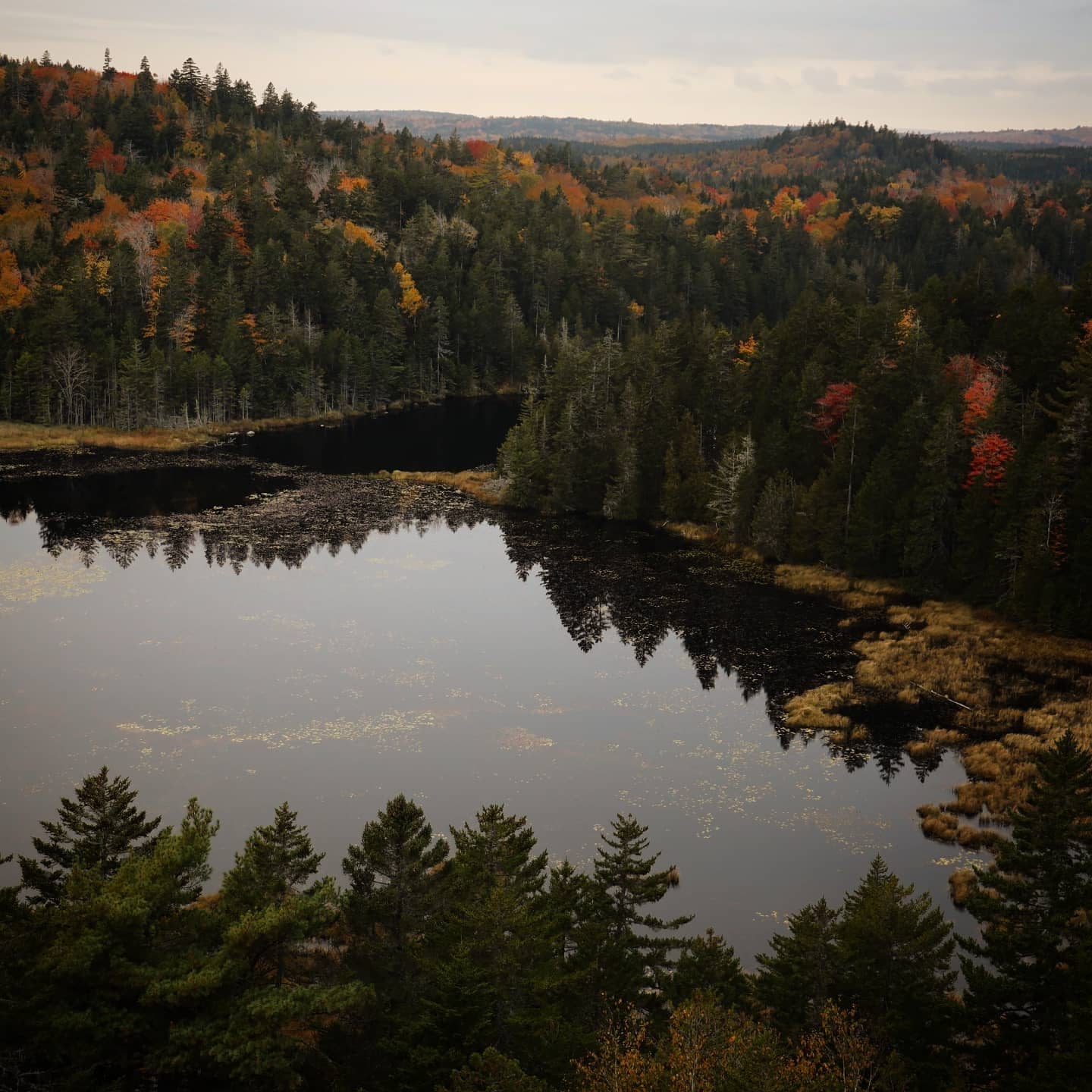
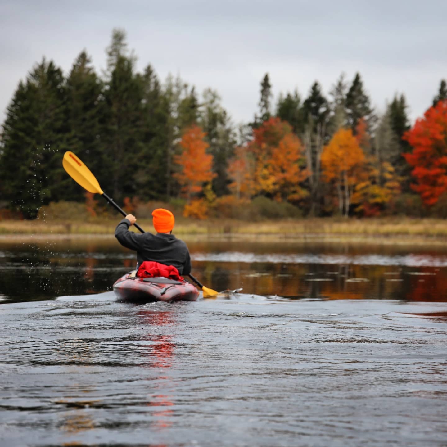
The Orange River Water Trail is an easy to access, easy to paddle flat-water trail, which includes miles of fresh water teeming with wildlife maintained by several area partners. DCC provides boating access from either Reynolds Marsh Overlook or Orange River Landing. The two access sites are close enough to offer an easy one-way or round-trip paddle between them. Paddlers may use DCC’s shoreline at designated day-use areas to enjoy picnicking, wildlife watching, and relaxing. A paddle-accessed hiking trail leading to the summit of Estey Mountain offers stunning views of Roaring Lake and the surrounding wild landscape. The Estey Mountain trail, 0.75 mile, is relatively easy with a short steep pitch at the end. DCC permits camping in two established campsites on a first-come, first-serve basis. Each of the sites contains a picnic table, DCC signage, a box privy, and a firepit. The Orange River is dammed to provide optimal habitat for birds. Paddlers should expect higher water in the spring and early summer and lower water levels in late summer and fall.
Trailhead Directions:
Reynolds Marsh Overlook parking area is located on the north side of Route 1 in Whiting, 3 miles south of the Route 189 turnoff. A short trail starts on the left side of the parking area; Reynolds Marsh Overlook provides hand-carry launch only. The Orange River Landing is located 0.8 mile south of the Route 189 turnoff to Lubec. Turn right onto Playhouse Lane, then onto Landing Road. Follow the road to a 2-car parking area and launch, suitable for small trailered boats as well as hand-carry boats. The parking area is very small; space for turning and parking is limited.
Trail Map:

These DCC access points are part of the Orange River Water Trail. Learn more about the entire water trail here.