Denbow Point Preserve
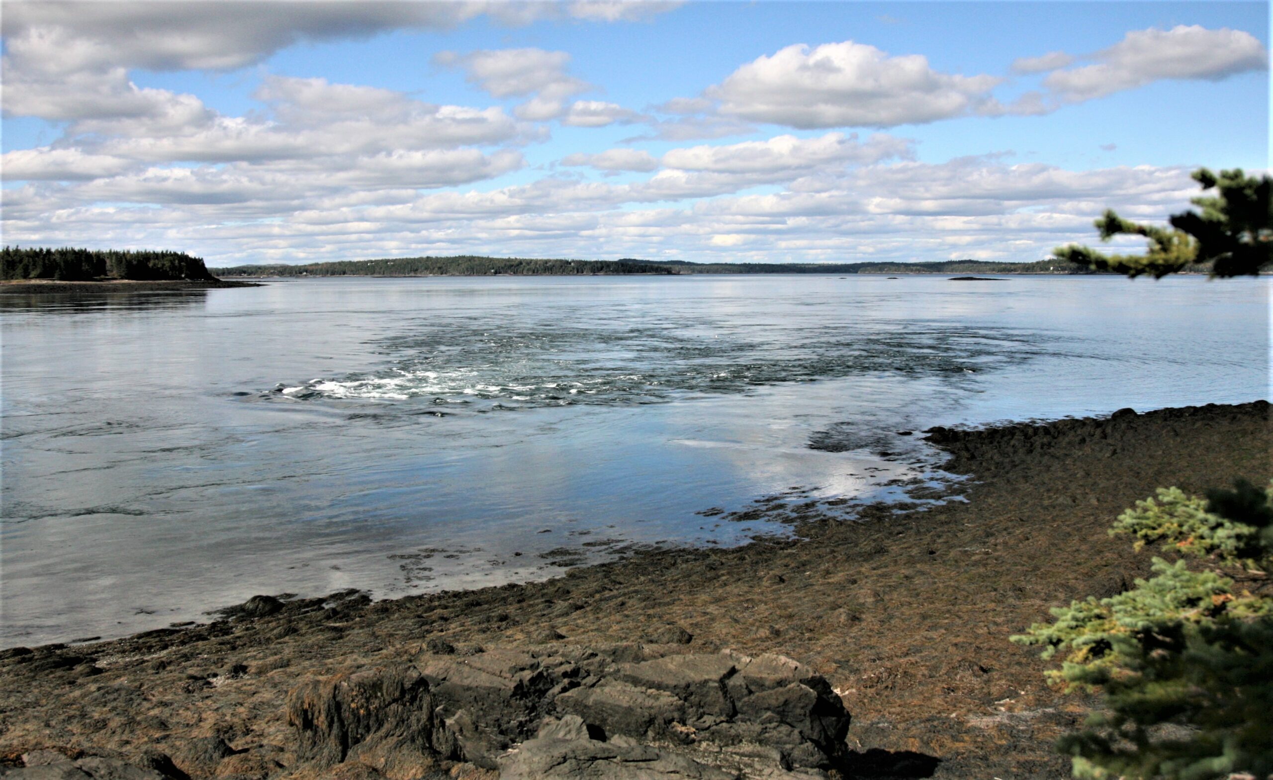
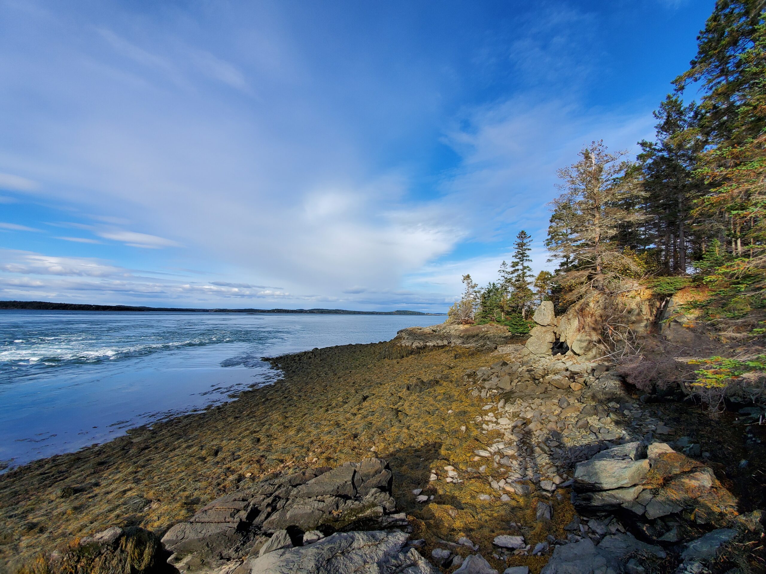
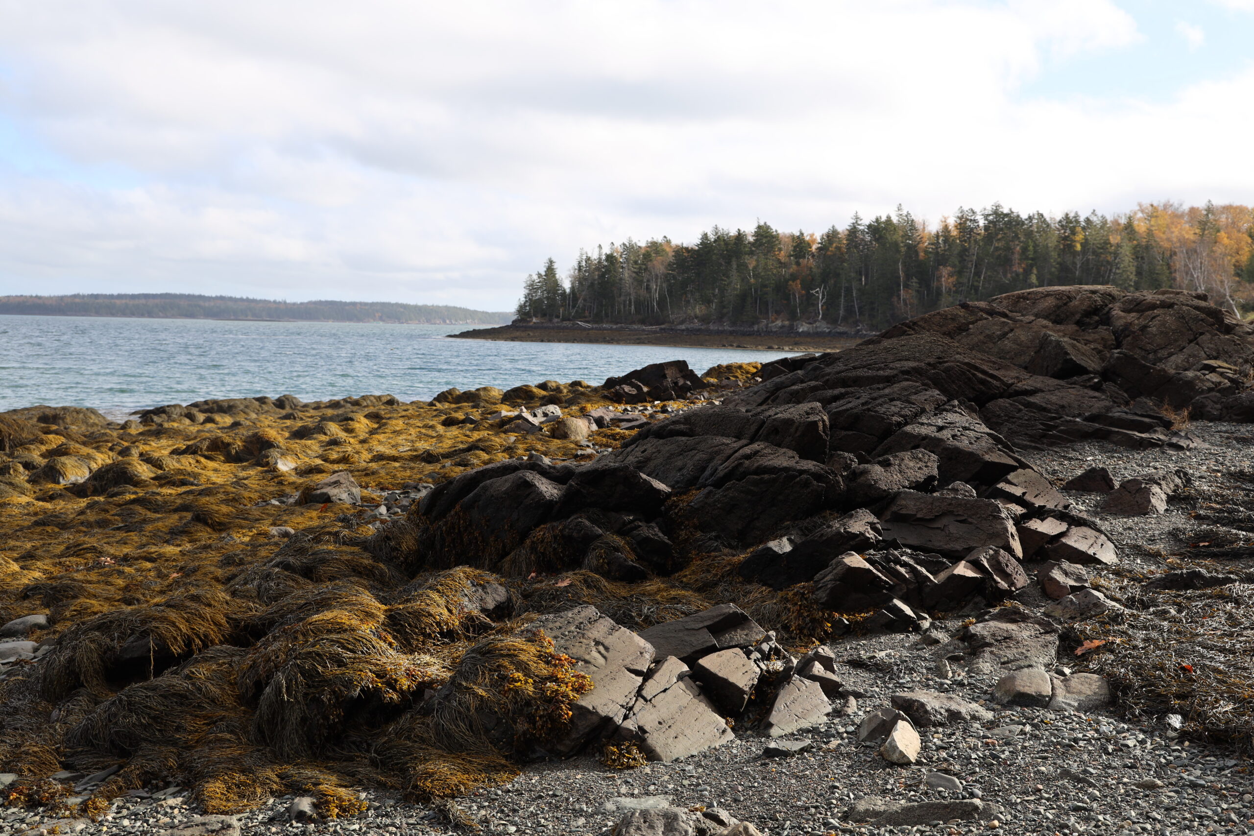
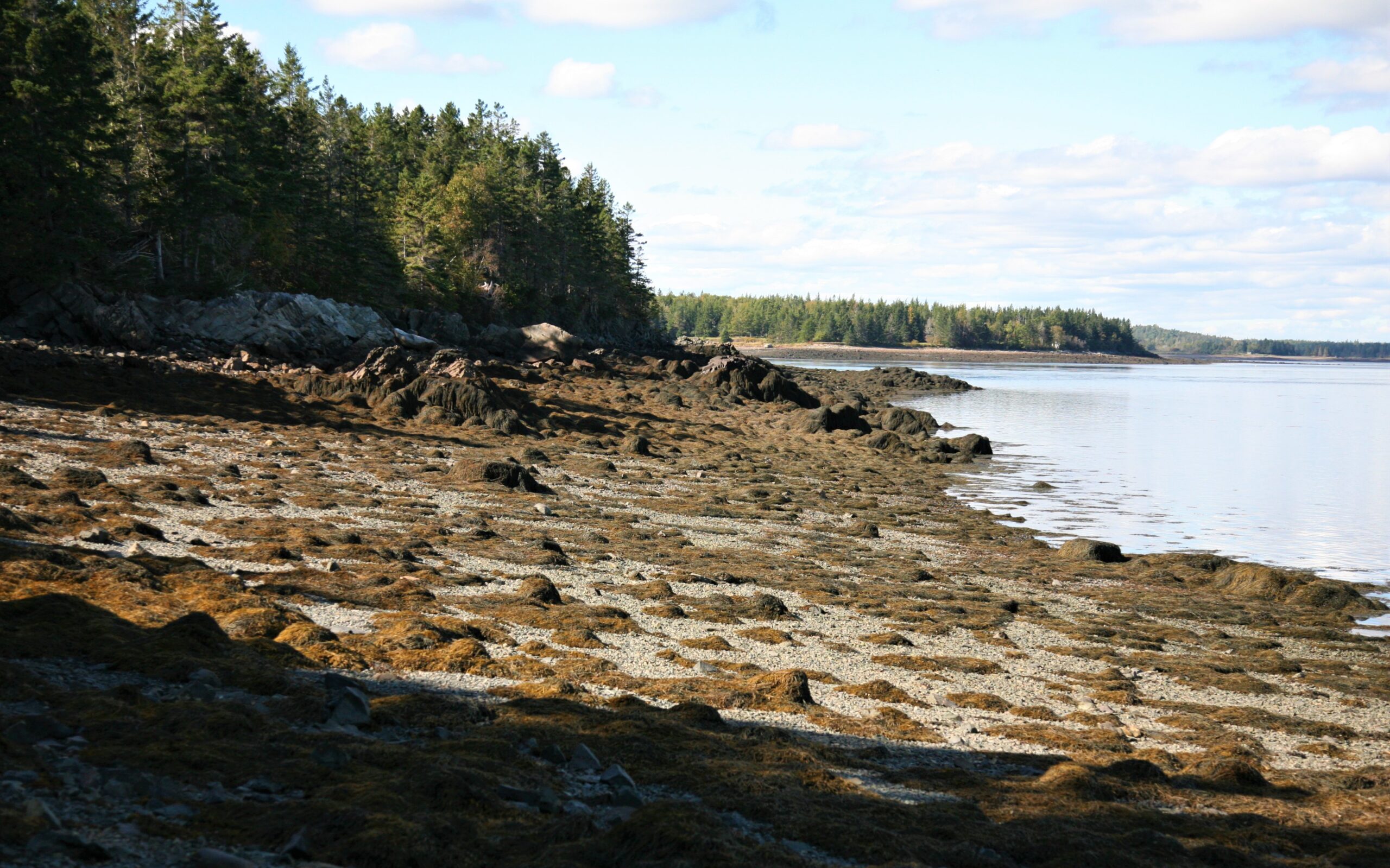
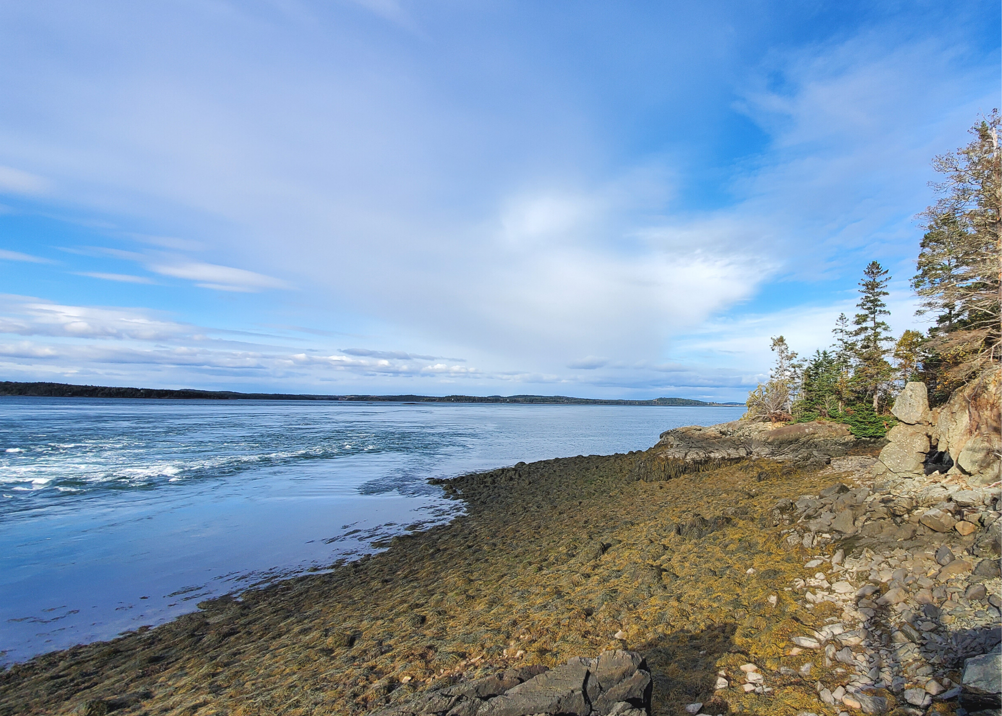
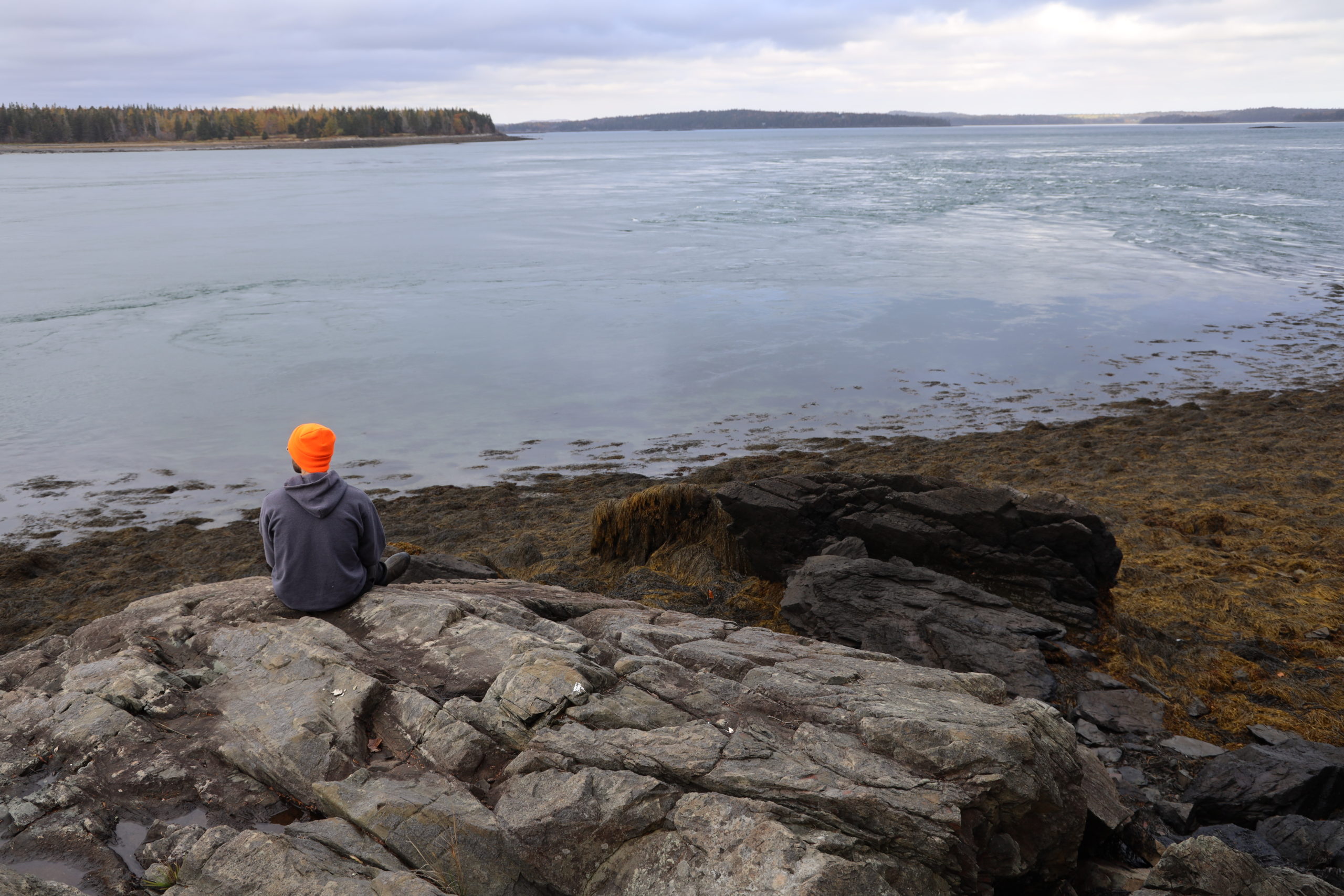
Denbow Point is a strikingly beautiful, narrow peninsula extending into Cobscook Bay.
Trail Activities:
 - Copy")
Difficulty & Length:
Moderate, 1.0 mile of trail network
Description:
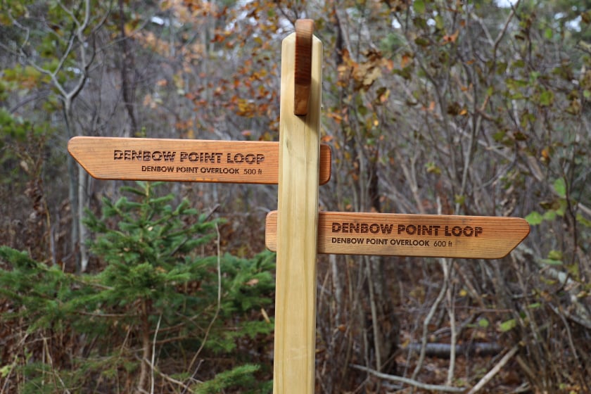
The property includes an approximately 1 mile loop trail, managed in partnership with Cobscook Shores, which meanders through its maritime boreal forests. Denbow Point was previously used as a lead mine throughout history, and the remains of lead pits and mine shafts can be observed from the trail. Please use caution when approaching the shoreline at these points, as the lead pits are extremely dangerous to traverse near. No swimming is advised at this property due to the danger of the lead pits, however there are a vast amount of other recreational opportunities to engage in!
Trailhead Directions:
Go 5 miles west on ME-189, from it’s intersection with Washington Street in Lubec, to it’s intersection with Crows Neck Road on the right. Or, go 5.6 miles east on ME-189 from it’s intersection with US-1 in Whiting, to Crows Neck Road on the left. Head north on Crows Neck Road for 0.4 miles and turn right on Lead Mine Road, then after just 0.2 miles turn left on Straight Bay Road. Continue 4.8 miles north to the parking lot at the trailhead (0.1 miles past the entrance for Denbow Bluffs).
Trail Map: