Tide Mill Creek
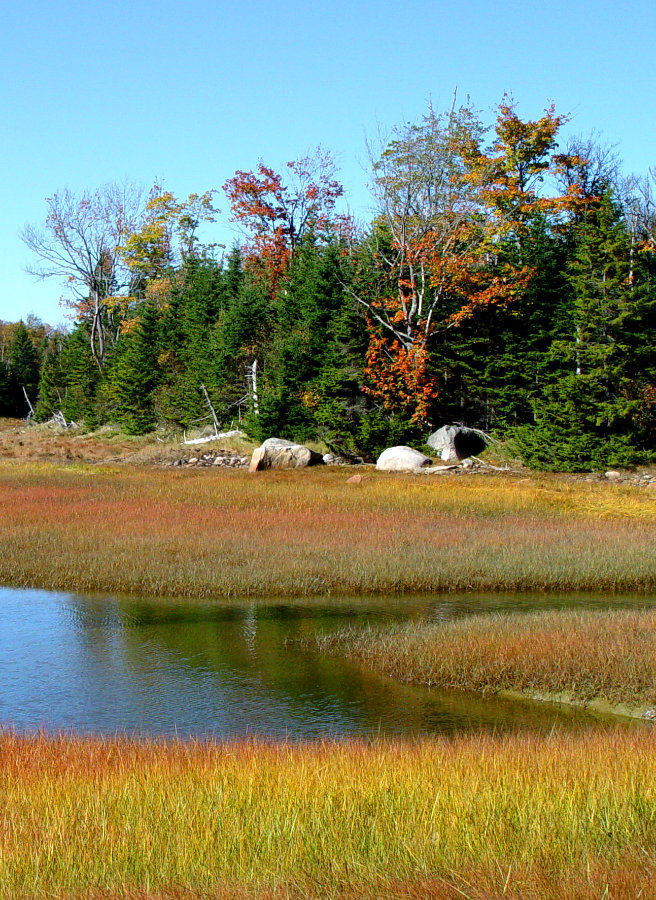
Tide Mill Creek consists of a 225-acre forested peninsula featuring salt marsh, tidal inlets, and freshwater creeks.
The property is bordered by the Chandler River to the south and an estuary to the east and west. A great assortment of waterfowl and wading birds can typically be found near the shore while the forest interior provides habitat for moose, deer coyote, beavers, fox, snowshoe hare, woodland birds, and a host of smaller wildlife. In the late 1700s, a tidal sawmill was located at the mouth of the creek which operated by impounding the incoming tide behind a dam then controlling the release of the water to power the mill. Although the mill has disappeared, remnants of the original dam are still visible at low tide.
Directions: From Machias or points east, travel south on U.S. Route 1. About 5.5 miles from Machias turn left onto Old Route 1. Go about 0.3 miles and turn left onto the Roque Bluffs Road. Continue about 1.5 miles to the Tide Mill Creek Conservation Land sign on the right.
From Jonesboro or points west on Route 1, take a slight right onto Old Route 1 (At the sign for Roque Bluffs State Park). Bear right onto Roque Bluffs Road and follow about 1.5 miles to the Tide Mill Creek Conservation Land sign on the right.

The Honey Pot Trail at Tide Mill Creek
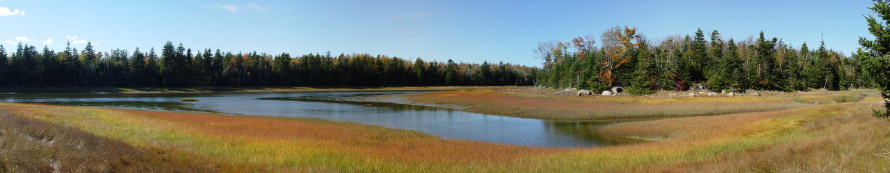
View Across Tide Mill Creek