Orange River Conservation Area
The Orange River remains one of the least developed coastal river systems remaining on the east coast.
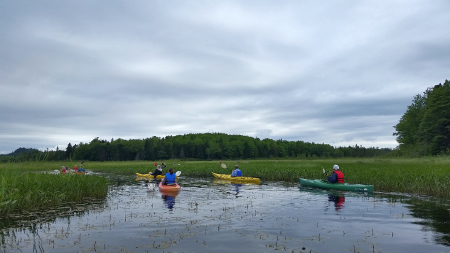
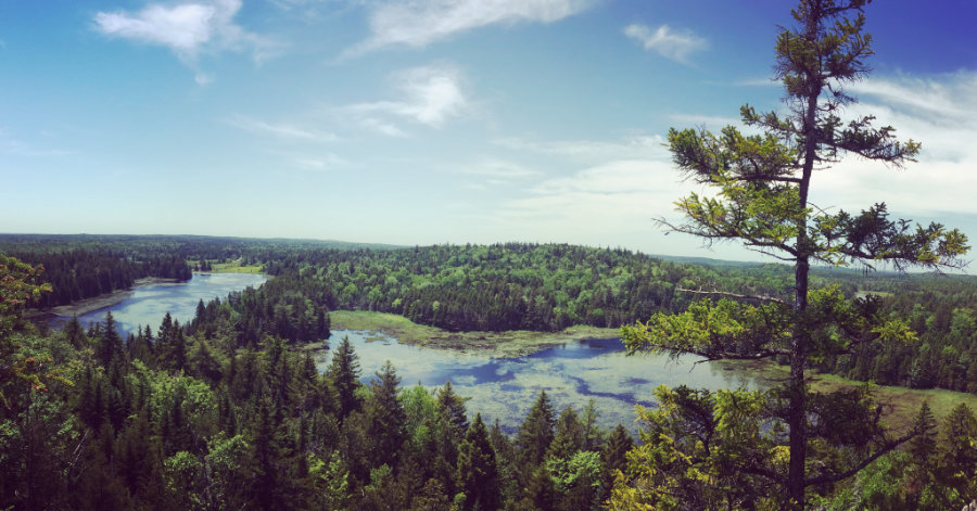
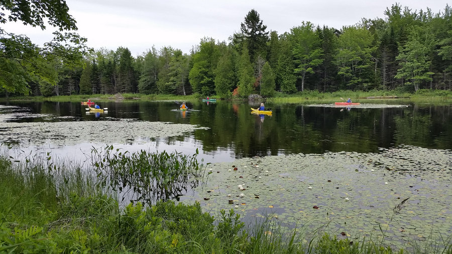
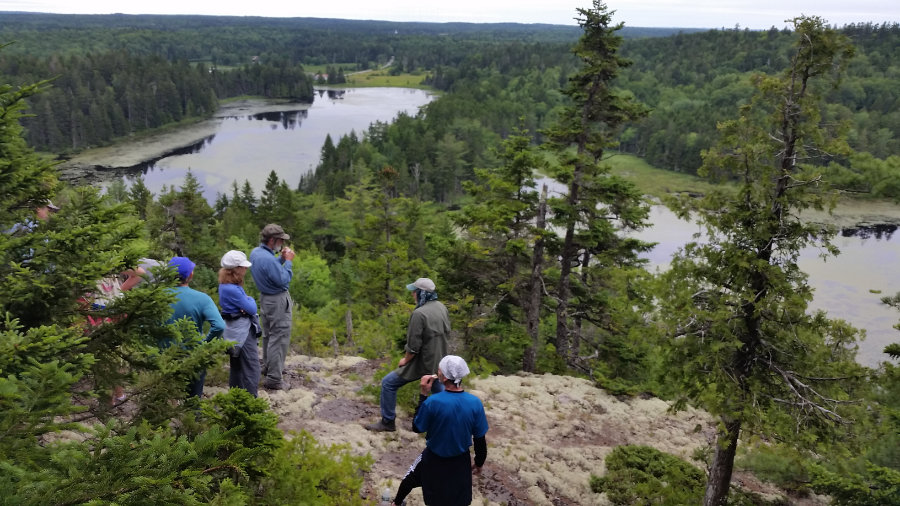
DCC began acquiring areas around the river in 2003 and has since protected over 700 acres (including 9 miles of shoreline) within the area surrounding the river. There are public access points at Reynolds Marsh and Orange River Landing which offer convenient access or launching canoes and kayaks. While this area is best explored by boat, a paddle-access hiking trail leading to the summit of Estey Mountain offers stunning views of Roaring Lake and the surrounding wild landscape. The Orange River Conservation Area compliments other adjacent conservation lands which provide a contiguous wildlife corridor stretching from Moosehorn National Wildlife Refuge to the Bold Coast.
Directions:
Reynolds Marsh Overlook: From the North, take US Route 1 to Whiting. Go 3 miles past the Route 189 turn-off. The parking lot will be on the right.
From the South, take Route 1 10.2 miles past the Route 191 turn-off in East Machias. Look for the parking lot on the left.
Orange River Landing: From the North, take US Route 1 to Whiting. Go 0.8 mile past the Route 189 turn-off to Lubec. Turn right onto Playhouse Lane. Go 0.1 mile and turn right onto Landing Road. Take Landing Road past the house (where it becomes dirt) to the end where there is a small 2-car parking lot. For larger groups or vehicles with trailers, proceed past Landing Road to the end of Playhouse Lane, then turn right and unload near the dam. Please park without blocking access by other vehicles. Overflow vehicles can park on Playhouse Lane.
From the South, take US Route 1 12 miles past the Route 191 turn-off in East Machias. Look for Playhouse Land on the left and proceed as instructed above.

View from Estey Mountain (Landon Knitweis)
Paddling Along the Orange River
View of Ornage River and Roaring Lake from Estey Mountain Summit
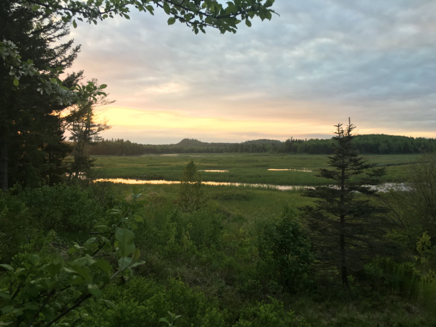
Sunset View from Reynolds Marsh (Tim Moffett)
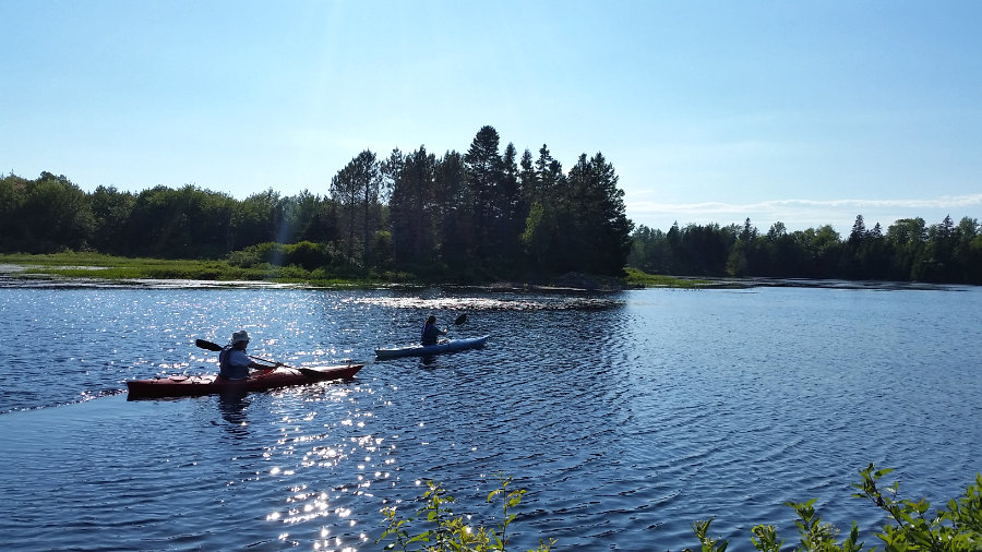
Summer Paddle on the Orange River