Tide Mill Creek is an easy, 2 miles trail network that consists of a ~200-acre forested peninsula with salt marsh, tidal inlets, and freshwater creeks. From the parking lot hikers journey down an old access path which previously was washed out to due a family beavers. Be sure to take the time to stop and read the interpretive panel onsite to learn more about beaver’s influence on the property.
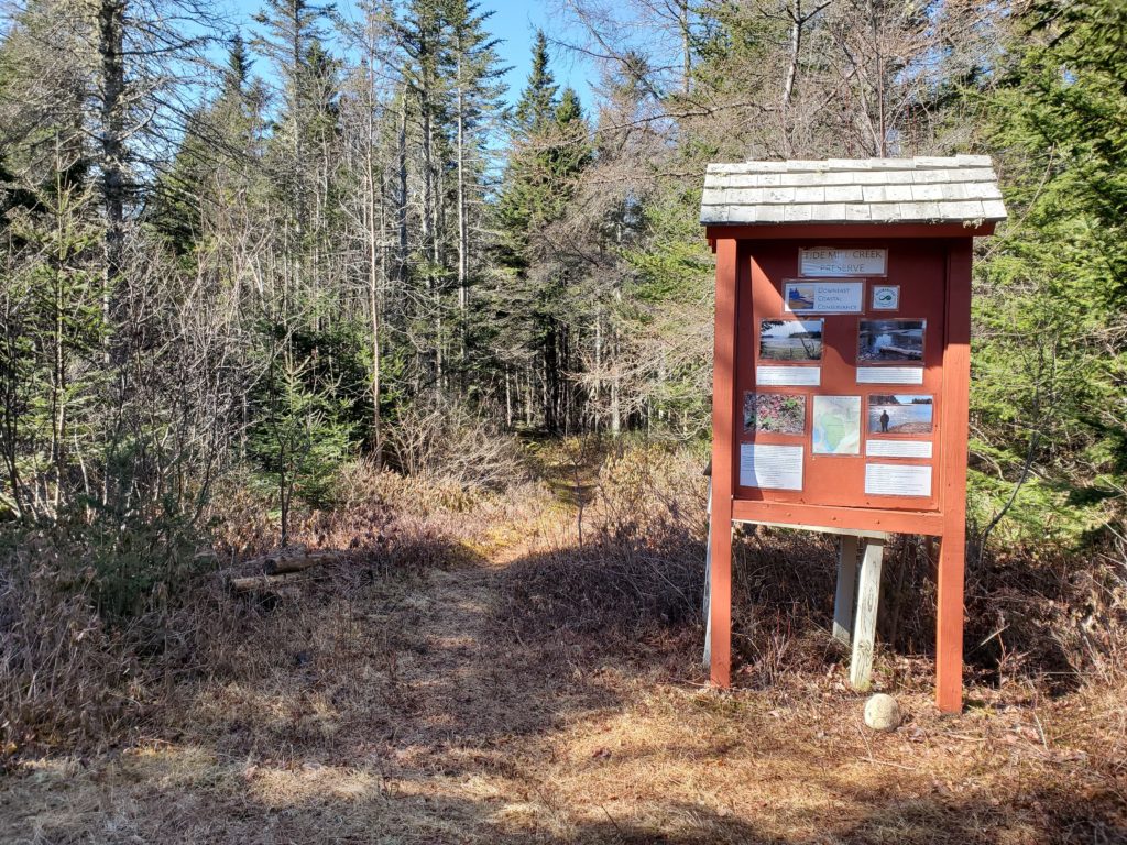
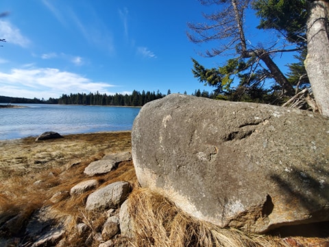
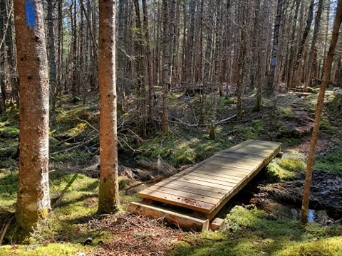
As you continue down the path you will reach the original trailhead for the preserve that includes more educational information about the property. Hikers can then choose to walk along the Bear Creek Trail (~1 mile) or the Honey Pot Trail (~1 mile). The Bear Creek Trail follows the eastern portion of the property offering direct views of Tide Mill Creek. As you hike along the peninsula’s edge you’ll eventually reach a sign signaling a rock vista is ahead. The rock vista is a wonderful view of the water! As you continue down the trail, you can choose to go on a short scenic loop to lengthen your hike or return to the parking lot via the Honey Pot Trail. The interior Honey Pot Trail can often be extremely wet with muddy conditions, especially during the spring. We recommend that hikers avoid this section and return to the trailhead via the Bear Creek Trail when the conditions are wet.

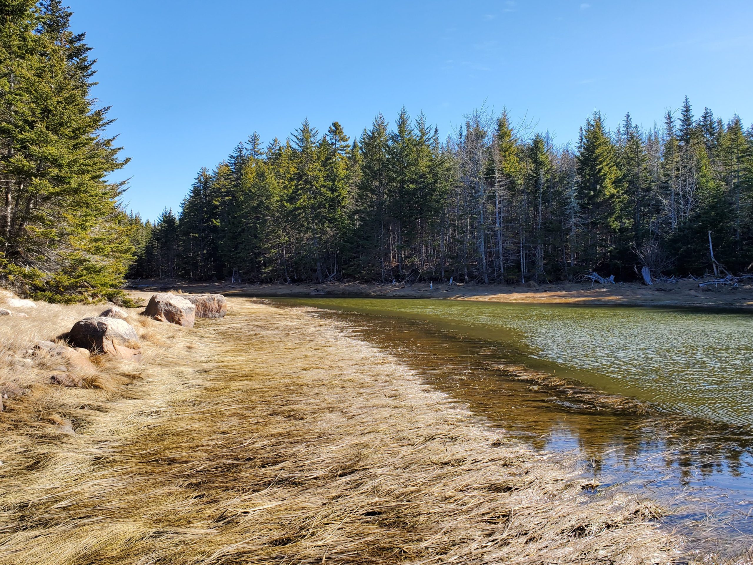
This preserve provides excellent waterfowl, wading bird, and shorebird habitat and prime black duck wintering habitat. The forest interior is predominantly spruce-fir forest which provides habitat for moose, deer, coyote, fox, snowshoe hare, woodland birds, and a host of smaller wildlife. Tide Mill Creek takes its name from a Revolutionary-era sawmill located at the mouth of the creek. The mill operated by impounding the incoming tide behind a dam and releasing the water to turn the mill. Although the mill has disappeared, remnants of the dam are still visible at low tide.
Directions: From Machias or points east, travel south on U.S. Route 1. About 5.5 miles from Machias turn left onto Old Route 1. Go about 0.3 miles and turn left onto the Roque Bluffs Road. Continue about 1.5 miles to the Tide Mill Creek Conservation Land sign on your right. From Jonesboro or points west on Route 1, take a slight right onto Old Route 1 (At the sign for Roque Bluffs State Park). Bear right onto Roque Bluffs Road and follow about 1.5 miles to the Tide Mill Creek Conservation Land sign on your right.