Mowry Beach
The 48-acre Mowry Beach Preserve provides convenient public access to one of the easternmost sandy beaches in the country.
Situated along the edge of the village of Lubec, this property protects 1,800 feet of shoreline along a 1.2 mile beach overlooking Lubec Channel and Campobello Island. Within the inland portion of the preserve, a 1,700 foot wooden boardwalk passes through coastal-scrub woodland and skirts a sphagnum bog and cattail swamp. Along the lower portions of the beach at low tide, the remains of ancient tree stumps can be seen indicating the location of a primeval forest. This preserve was acquired with the support of the Land for Maine’s Future program in 2004.
Directions: Take U.S. Route 1 to Route 189 (in Whiting) and follow 189 into Lubec village, bearing right on Washington Street. Take the third right onto Pleasant Street (just before the International Bridge) and follow it to the end (0.3 mile) to the beachside parking lot and trailhead.
Alternately, turn right off Route 189 onto South Street, (after the cemetery) and follow that to Lubec Consolidated School. Park at the south end of the school building and walk around back to where a trailhead sign is visible at the lawn’s edge.

Chief Stewards Improving Mowry Beach
Exploring the Beach
Mowry Beach Snails
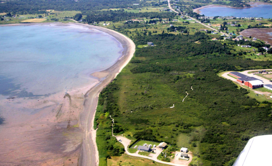
Overview of Mowry Beach

Changing Tides at Mowry Beach
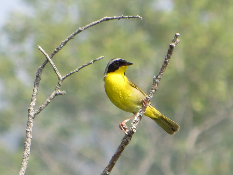
Common Yellowthroat (Colin Brown)
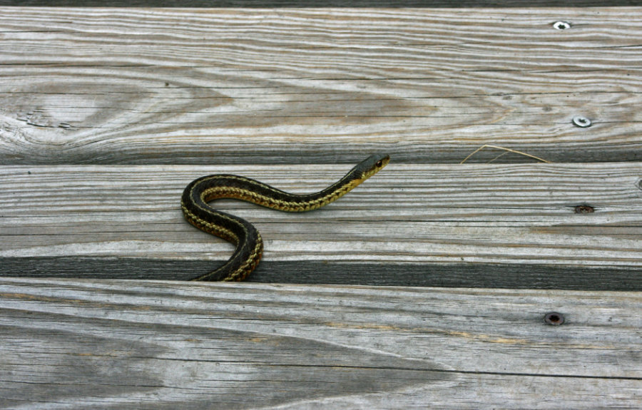
A Snake Emerges from Under the Boardwalk
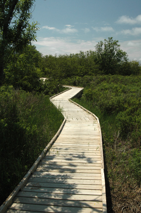
Accessible Boardwalk at Mowry Beach

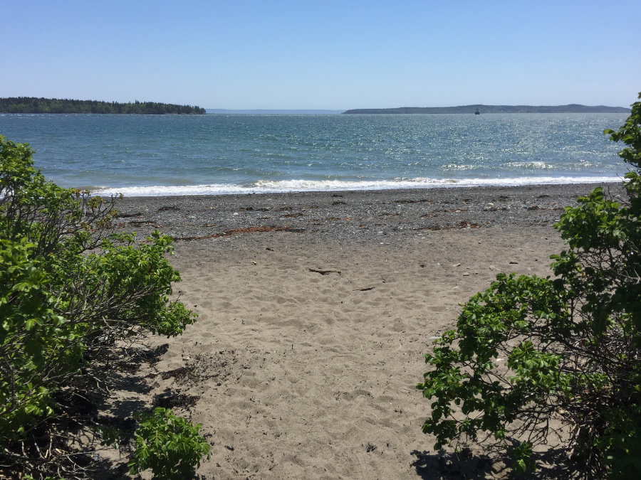
Looking Across the Channel to Campobello Island
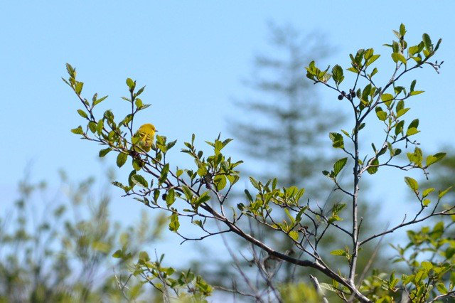
Yellow Warbler at Mowry Beech
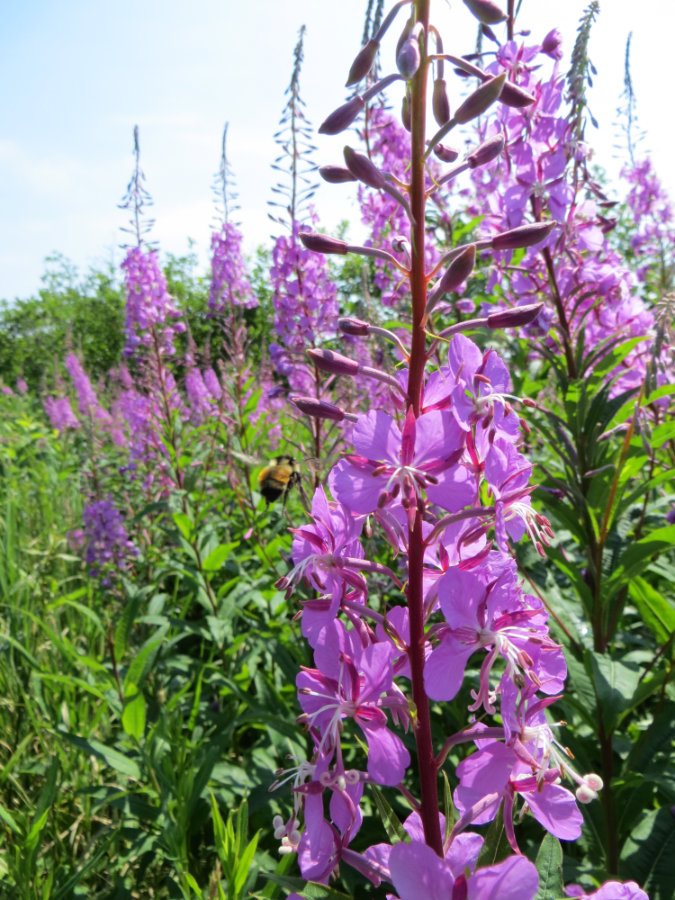
Fireweed at Mowry Beach (Colin Brown)
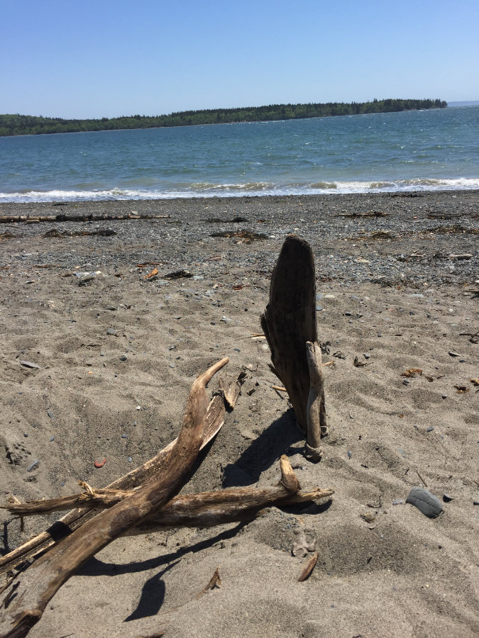
Driftwood at Mowry Beach
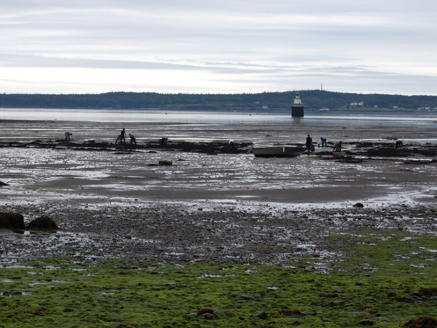
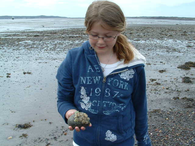
Clamming at Low Tide (Colin Brown)
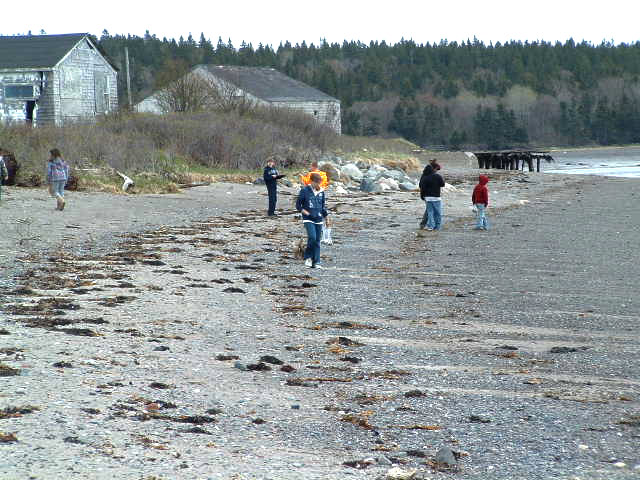
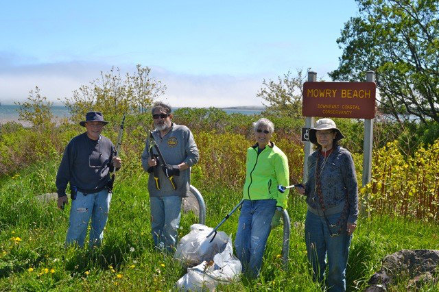
Clean Up Volunteers at Mowry Beach
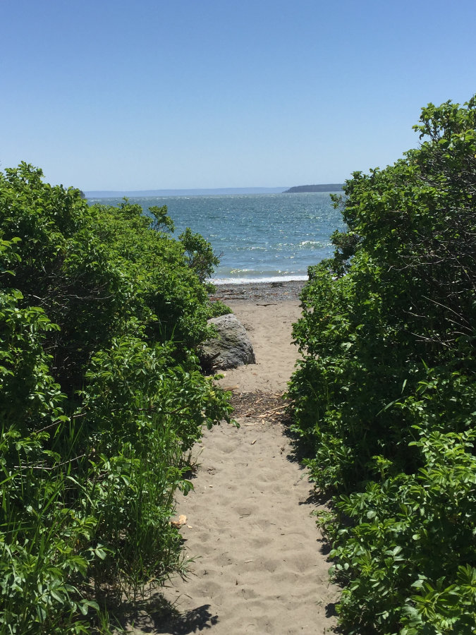
Entry Through the Rose Bushes
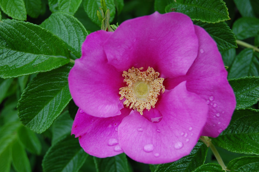
Rose (Colin Brown)

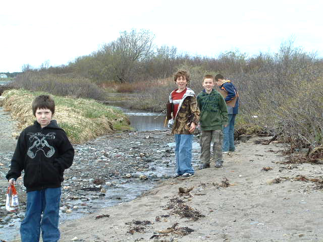
Students Visiting Mowry Beach